Online Links:
Online Links:
| Value | Definition |
|---|---|
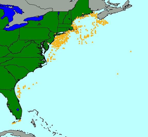
| Point | Shapefile point data |
| Range of values | |
|---|---|
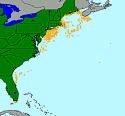
| Minimum: | 24.4083 |
| Maximum: | 44.8500 |
| Units: | signed decimal degrees |
| Range of values | |
|---|---|
| Minimum: | 24.4083 |
| Maximum: | 44.8500 |
| Units: | signed decimal degrees |
| Resolution: | .0001 |
| Range of values | |
|---|---|
| Minimum: | -81.8167 |
| Maximum: | -59.9833 |
| Units: | signed decimal degrees |
| Resolution: | .0001 |
| Range of values | |
|---|---|
| Minimum: | 7 |
| Maximum: | 4861 |
| Units: | meters |
| Resolution: | 1 |
| Range of values | |
|---|---|
| Minimum: | 1 |
| Maximum: | 6 |
| Units: | count |
| Resolution: | 1 |
Online Links:
Online Links:
| Access_Constraints | None |
|---|---|
| Use_Constraints | Public domain data from the U.S. government are freely redistributable with proper metadata and source attribution. Please recognize the U.S. Geological Survey (USGS) as the source of this information. |
| Data format: | The six files comprising the ArcView shapefile representing the Continental Margin bottom photograph locations and an ASCII version of the metadata file. in format Shapefile (version ArcView 3.2) shapefile Size: 0.03 |
|---|---|
| Network links: |
https://pubs.usgs.gov/of/2001/of01-154/data/bphotos.zip https://doi.org/10.3133/ofr01154 |
| Media you can order: |
CD-ROM
(Density 650
Mbytes)
(format ISO 9600)
Note: The user must have a system with a CD-ROM capable of reading an ISO-9660 standard CD-ROM disk. To browse the information contained on this disk, the user must also have a current version of WWW browser available. |