Online Links:
Online Links:
| Value | Definition |
|---|---|
| Point | ESRI point shapefile |
| Range of values | |
|---|---|
| Minimum: | 26019.450 |
| Maximum: | 26191.019 |
| Units: | loran time difference in microseconds |
| Resolution: | 0.001 |
| Range of values | |
|---|---|
| Minimum: | 43947.195 |
| Maximum: | 43992.712 |
| Units: | loran time difference in microseconds |
| Resolution: | 0.001 |
| Range of values | |
|---|---|
| Minimum: | 0 |
| Maximum: | 28 |
| Units: | integer |
| Resolution: | 1 |
| Value | Definition |
|---|---|
| hours and minutes | hours and minutes in military time |
| Value | Definition |
|---|---|
| AST90-1 | Assigned identifier for cruise R/V ASTERIAS 90-1 |
| Value | Definition |
|---|---|
| MONTH/DAY/YEAR | Months, Days, and Years |
| Range of values | |
|---|---|
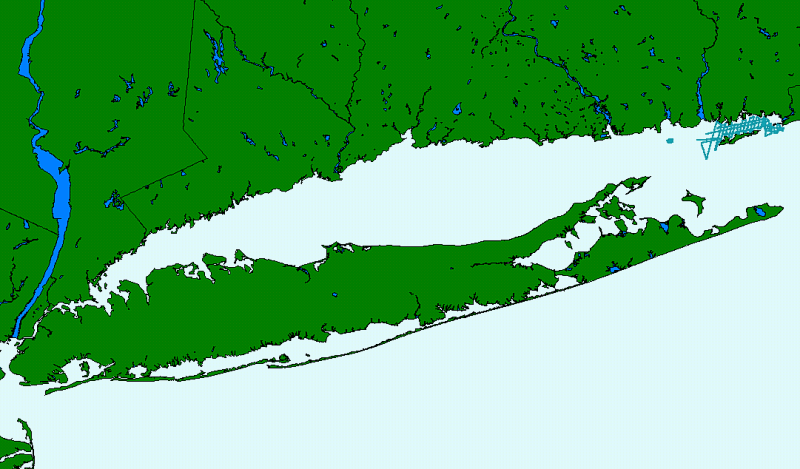
| Minimum: | -072.183678 |
| Maximum: | -071.855431 |
| Units: | Decimal degrees |
| Resolution: | 0.00001 |
| Range of values | |
|---|---|
| Minimum: | 41.208870 |
| Maximum: | 41.329899 |
| Units: | Decimal degrees |
| Resolution: | 0.00001 |
| Value | Definition |
|---|---|
| Hour:minute | Hour and minutes |
Online Links:
Online Links:
| Access_Constraints | None |
|---|---|
| Use_Constraints |
The U.S. Geological Survey must be referenced as the originator of the dataset in any future products or research derived from these data.
Although this derived data set and its lineage dataset have been used by the USGS, no warranty, expressed or implied, is made by the USGS as to the accuracy of the data and/or related materials. The act of distribution shall not constitute any such warranty, and no responsibility is assumed by the USGS in the use of these data or related materials. |
| Data format: | The seven ArcView shapefiles (90_1navp.dbf, 90_1navp.shp, 90_1navp.shx, 90_1navp.avl, 90_1navp.sbn, 90_1navp.sbx, 90_1navp.prj) comprising the navigation point data for the R/V ASTERIAS 90-1 cruise in Fishers Island Sound and eastern Long Island Sound and an ASCII copy of the metadata file. in format ArcView (version 3.2) ESRI point shapefile Size: 1 |
|---|---|
| Network links: |
https://doi.org/10.3133/ofr022 https://pubs.usgs.gov/of/2002/0002/data/nav/90_1nav/90_1navp.zip |
| Media you can order: |
DVD
(Density 4.7
Gbytes)
(format UDF)
Note: The user must have a system with a DVD drive capable of reading an UDF standard DVD-R disk. To browse the information contained on this disk, the user must also have a current version of WWW browser available. The user must also have the software installed on their computer system capable to unzip the archived file. |
| Data format: | ASCII (version information unavailable from original metadata) Comma delimited ASCII text file with field header record. Size: 1 |
|---|---|
| Network links: |
https://doi.org/10.3133/ofr022 https://pubs.usgs.gov/of/2002/0002/data/nav/90_1nav/a90_1nav.txt |
| Media you can order: |
CD-ROM
(Density 4.75
Gigabytes)
(format UDF)
Note: The user must have a system with a DVD drive capable of reading an UDF standard DVD-R disk. To browse the information contained on this disk, the user must also have a current version of WWW browser available. The user must also have the software installed on their computer system capable to unzip the archived file. |