Citation:
Citation_Information:
Originator: U.S. Geological Survey (USGS)
Originator: National Oceanic and Atmospheric Administration (NOAA)
Publication_Date: 2004
Title:
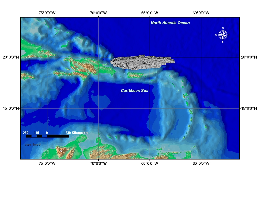
Grey Toned Surface Model Image from the 150 meter grid of the Puerto Rico Trench (gtsurfmod.tif)
Edition: 1.0
Geospatial_Data_Presentation_Form: remote-sensing image
Series_Information:
Series_Name: Open-File Report
Issue_Identification: 2004-1400
Publication_Information:
Publication_Place: Woods Hole Coastal and Marine Science Center, Woods Hole, MA
Publisher: U.S. Geological Survey, Coastal and Marine Geology Program
Online_Linkage: https://doi.org/10.3133/ofr20041400
Online_Linkage:
Online_Linkage: http://pubs.usgs.gov/of/2004/1400/htmldocs/meta.htm
Larger_Work_Citation:
Citation_Information:
Originator: Uri ten Brink
Originator: Castle Eugene Parker
Originator: William Danforth
Originator: Chris Polloni
Originator: Toshi Uozumi
Originator: Glynn Williams
Publication_Date: 2004
Title:
Project PROBE Leg II - Final Report and Archive of Swath Bathymetric Sonar, CTD/XBT and GPS Navigation Data Collected During USGS Cruise 03008 (NOAA Cruise RB0303) Puerto Rico Trench 18 February - 7 March, 2003
Edition: 1.0
Series_Information:
Series_Name: Open-File Report
Issue_Identification: 2004-1400
Publication_Information:
Publication_Place: Reston, VA
Publisher: U.S. Geological Survey
Other_Citation_Details: 1 DVD-ROM
Online_Linkage: http://pubs.usgs.gov/of/2004/1400/
Description:
Abstract:
The Puerto Rico Trench is a tectonic plate boundary where the North American Plate slides by and descends under the Caribbean Plate. Although much of the trench lies within the United States of America's Exclusive Economic Zone (EEZ), surprisingly few surveys have been conducted there during the past 25 years. This data set is a grey toned surface model mosaic derived from the 150 meter grid made from the multibeam bathymetric data collected during the U.S. Geological Survey (USGS) science cruise 03008 in collaboration with National Oceanic and Atmospheric Administration (NOAA) Research Cruise RB0303 from 18 February to 7 March 2003, Leg II of III. (Leg I and III: 20020924 to 20020930 and 20030828 to 20030904, respectively).
Purpose:
This high-resolution multibeam bathymetry image mosaic can be used in Geographic Information Science (GIS) to provide better perspective viewing and advanced analysis of geologic conditions in the Puerto Rico Trench. Remotely sensed features in the trench are studied and the information learned can be used to discern cause and effect of natural hazards such as earthquakes and tsunamis.
Time_Period_of_Content:
Time_Period_Information:
Multiple_Dates/Times:
Single_Date/Time:
Calendar_Date: 200209
Single_Date/Time:
Calendar_Date: 200302
Single_Date/Time:
Calendar_Date: 200303
Single_Date/Time:
Calendar_Date: 200304
Currentness_Reference: ground condition
Status:
Progress: Complete
Maintenance_and_Update_Frequency: None planned
Spatial_Domain:
Bounding_Coordinates:
West_Bounding_Coordinate: -68.9
East_Bounding_Coordinate: -62.6
North_Bounding_Coordinate: 20.3
South_Bounding_Coordinate: 18.7
Keywords:
Theme:
Theme_Keyword_Thesaurus: USGS Metadata Identifier
Theme_Keyword: USGS:2239fa3c-fb55-4997-8106-eab42aba7c96
Theme:
Theme_Keyword_Thesaurus: None
Theme_Keyword: Coastal and Marine Geology Program
Theme_Keyword: USGS
Theme_Keyword: National Oceanic and Atmospheric Administration
Theme_Keyword: U.S. Geological Survey
Theme_Keyword: CMGP
Theme_Keyword: NOAA
Theme_Keyword: Woods Hole Science Center
Theme_Keyword: WHSC
Theme_Keyword: NOAA Hydrographic Survey-Atlantic Branch
Theme_Keyword: NOAA Office of Ocean Exploration
Theme_Keyword: seafloor mapping
Theme_Keyword: field activity serial number 03008
Theme_Keyword: field activity number RB03-02
Theme_Keyword: NOAA Cruise RB0303
Theme_Keyword: raster grey scale image
Theme_Keyword: Seabeam
Theme_Keyword: Multibeam bathymetry
Theme_Keyword: shaded relief image
Theme:
Theme_Keyword_Thesaurus: ISO 19115 Topic Category
Theme_Keyword: oceans
Theme_Keyword: imageryBaseMapsEarthCover
Theme:
Theme_Keyword_Thesaurus: USGS Thesaurus
Theme_Keyword: sea-floor characteristics
Theme_Keyword: marine geophysics
Theme_Keyword: computational methods
Theme_Keyword: geospatial datasets
Theme_Keyword: multibeam sonar
Place:
Place_Keyword_Thesaurus: None
Place_Keyword: Puerto Rico Trench
Place_Keyword: Caribbean Sea
Place_Keyword: Caribbean Plate
Place_Keyword: Archipelago
Place_Keyword: Muertos Trough
Place_Keyword: Anegada Trough
Place_Keyword: Antilles Arc
Place_Keyword: Virgin Island Trough
Place_Keyword: Atlantic Ocean
Place_Keyword: North America
Access_Constraints: None
Use_Constraints:
Public domain data from the U.S. government are freely redistributable with proper metadata and source attribution. Please recognize the U.S. Geological Survey (USGS) and National Oceanic and Atmospheric Administration (NOAA) as the source of this information.
Point_of_Contact:
Contact_Information:
Contact_Organization_Primary:
Contact_Organization: U.S. Geological Survey
Contact_Person: Chris Polloni
Contact_Position: Spatial Data Technician
Contact_Address:
Address_Type: mailing and physical address
Address: 384 Woods Hole Road
City: Woods Hole
State_or_Province: MA
Postal_Code: 02543-1598
Country: USA
Contact_Voice_Telephone: (508) 548-8700 x2280
Contact_Facsimile_Telephone: (508) 457-2310
Contact_Electronic_Mail_Address: [email protected]
Browse_Graphic:
Browse_Graphic_File_Name:
Browse_Graphic_File_Description: Image showing data layer coverage and general location.
Browse_Graphic_File_Type: JPEG
Native_Data_Set_Environment:
Microsoft Windows 2000 Version 5.1 (Build 2600) Service Pack 2; ESRI ArcCatalog 8.3.0.800