The photo locations (BBVS_BottomPhotos_wBio.shp - see metadata for how the file was created on
https://pubs.usgs.gov/of/2014/1221/) were exported from ArcMap 9.3.1 using XTools Pro 7.1 as a comma-delimited text file. A temporary attribute was added to the shapefile (and later deleted) that represents GPSDATE in the format YYYYMMDD where YYYY is the year, MMis the numeric month, and DD is the numeric day. The attributes chosen for export from the modified file were: LAT, LONG, PICNAME, GPSTIME, GPSDATE. A PYTHON script (seth_write_exif.py) was then run that incorporated this information, along with additional information, into the appropriate locations in the EXIF header of each JPEG image. The PYTHON script uses exiftool (version 9.4.6.0) to write the information to the image headers.
The following tags were populated in the JPEG image headers. Information is duplicated in some tags. This was done because different software packages access different tags.
GPS tags: The values populated are unique for each image and based on the information exported from the photo locations shapefile.
GPSLatitudeRef
GPSLatitude
GPSLongitudeRef
GPSLongitude
GPSTimeStamp
GSPDateStamp
JPEG tags: The tag is listed along with the information used to populate it - which is the same for every image.
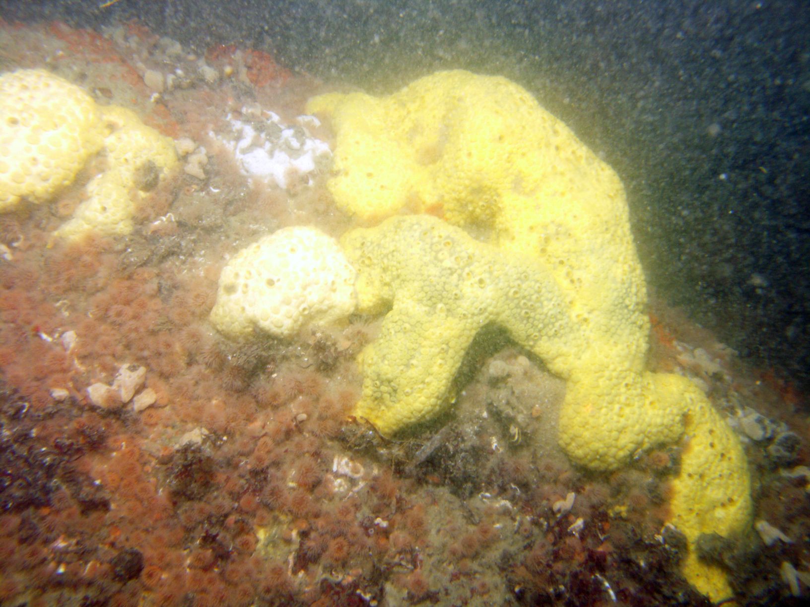
Comment: Photo from down-looking camera on the USGS SEABOSS deployed from the R/V Connecticut
during survey 2010-005-FA (http://woodshole.er.usgs.gov/operations/ia/public_ds_info.php?fa=2010-005-FA)
EXIF tags: The tag is listed along with the information used to populate it - which is the same for every image.
ImageDescription: Photograph of the sea floor offshore of Massachusetts from survey 2010-005-FA
Artist: Seth D. Ackerman
Copyright: Public Domain - please credit U.S. Geological Survey
IPTC tags: The tag is listed along with the information used to populate it - which is the same for every image.
Credit: U.S. Geological Survey
Contact: [email protected]
Keywords: Buzzards Bay Massachusetts, Vineyard Sound Massachusetts, Cape Cod Massachusetts,
2010-005-FA, SEABOSS, seafloor, sea floor, sea-floor, seabed, USGS
CopyrightNotice: Public Domain - please credit U.S. Geological Survey
Caption-Abstract: Photograph of the sea floor offshore of Massachusetts from survey 2010-005-FA
XMP tags: The tag is listed along with the information used to populate it - which is the same for every image.
Caption: Photograph of the sea floor offshore of Massachusetts from survey 2010-005-FA
To extract the information from the image headers using ExifTool, the following command can be used (tested with ExifTool version 9.4.6.0:
exiftool.exe -csv -f -filename -GPSTimeStamp -GPSLongitude -GPSLatitude -n -Artist -Credit -comment -keywords -Caption -Copyright -CopyrightNotice -Caption-Abstract -ImageDescription imgtest/*.jpg > out.csv
The -csv flag writes the information out in a comma-delimited format. The -n option formats the latitude and longitude as signed decimal degrees.