Online Links:
Online Links:
These data are used to define sea-floor morphology as part of the Massachusetts Seafloor Mapping Project. This gridded bathymetry layer and depth-colored hillshaded image represents approximately 185 square kilometers of interferometric sonar (Systems Engineering and Assessment Ltd. SWATHPlus-M) bathymetry data collected by the U.S. Geological Survey during USGS survey 2013-003-FA in 2013 offshore of Massachusetts, south of Martha's Vineyard and north of Nantucket. An additional approximately 50 square kilometers of interferometric bathymetry data was collected north of Nantucket during the same survey.
JD143 15:20 - JD146 20:06 (no data were collected on JD144 or JD145) JD149 15:40 - JD151 18:59 (no data were collected on JD150) JD153 00:01 - JD153 14:32 JD155 18:16 - JD156 02:06 JD158 06:12 - JD160 19:15 (no data were collected on JD159)
Are there legal restrictions on access or use of the data?Access_Constraints: None
Use_Constraints:These data are NOT to be used for navigation. Mariners should refer to the appropriate nautical chart. Public domain data from the U.S. Government are freely redistributable with proper metadata and source attribution. Please recognize the U.S. Geological Survey as the originator of the dataset.
Neither the U.S. Government, the Department of the Interior, nor the USGS, nor any of their employees, contractors, or subcontractors, make any warranty, express or implied, nor assume any legal liability or responsibility for the accuracy, completeness, or usefulness of any information, apparatus, product, or process disclosed, nor represent that its use would not infringe on privately owned rights. The act of distribution shall not constitute any such warranty, and no responsibility is assumed by the USGS in the use of these data or related materials. Any use of trade, product, or firm names is for descriptive purposes only and does not imply endorsement by the U.S. Government.
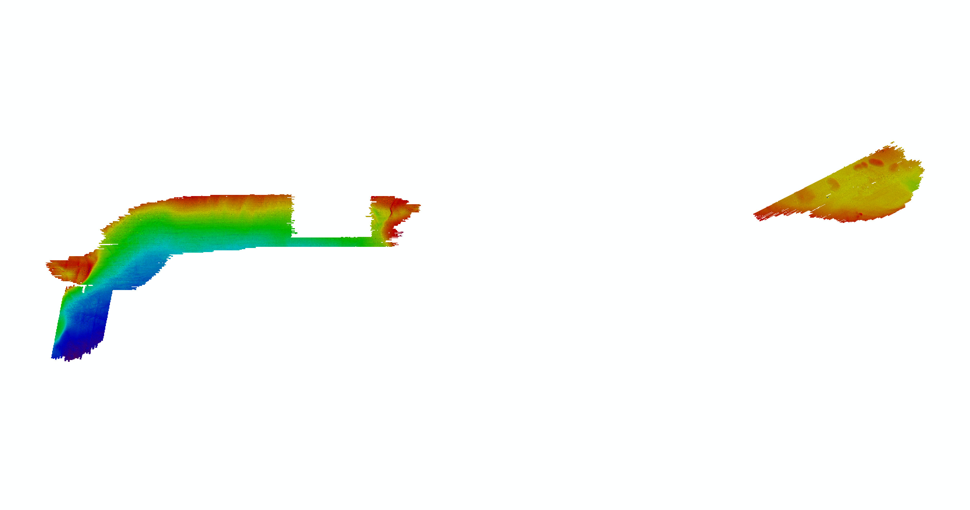
Data format: | The zip file contains a folder with a 32-bit GeoTIFF floating point GeoTIFF image at 5-meter resolution, a depth-colored hillshaded GeoTIFF image and the associated metadata and world files. in format GeoTIFF (version CARIS HIPS/SIPS 9.0 GeoTIFF) 32-bit floating point GeoTIFF image and depth-colored hillshaded GeoTIFF image Size: 41 |
---|---|
Network links: |
http://pubs.usgs.gov/of/2016/1168/GIS_catalog/raster/bathy/2013-003-FA_Bath5m.zip http://pubs.usgs.gov/of/2016/1168/ofr2016-1168-data_catalog.html http://dx.doi.org/10.3133/ofr20161168 |
The ZIP file contains a 32-bit Floating Point GeoTIFF image compressed using the DEFLATE compression format with a world file. To utilize these data an image processing or GIS software package capable of viewing a 32-bit Floating Point GeoTIFF image with DEFLATE compression. Standard image viewing software cannot translate a 32-bit floating point GeoTIFF image. The depth-colored hillshade GeoTIFF image is 32-bit GeoTIFF with LZW compression which can be viewed in any image processing or GIS software package capable of viewing a 32-bit GeoTIFF image with LZW compression.