Citation:
Citation_Information:
Originator: Page C. Valentine
Publication_Date: 2015
Title:
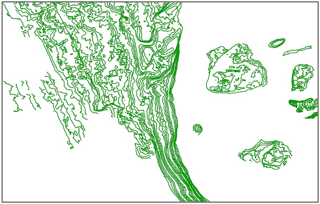
Polyline shapefile of a portion of the 1-meter (m) contours in quadrangle 6 of the Stellwagen Bank Survey Area offshore of Boston, Massachusetts necessary to show small features not displayed by 5-m contours - based on bathymetry data collected by the U.S. Geological Survey from 1994-1996 (Geographic, NAD 83)
Edition: 1
Geospatial_Data_Presentation_Form: vector digital data
Series_Information:
Series_Name: Scientific Investigations Map
Issue_Identification: 3341
Publication_Information:
Publication_Place: Woods Hole Coastal and Marine Science Center, Woods Hole, MA
Publisher: U.S. Geological Survey, Coastal and Marine Geology Program
Online_Linkage: https://doi.org/10.3133/sim3341
Online_Linkage: https://pubs.er.usgs.gov/publication/sim3341
Larger_Work_Citation:
Citation_Information:
Originator: Page C. Valentine
Originator: Leslie B. Gallea
Publication_Date: 2015
Title:
Seabed maps showing topography, ruggedness, backscatter intensity, sediment mobility, and the distribution of geologic substrates in quadrangle 6 of the Stellwagen Bank National Marine Sanctuary region offshore of Boston, Massachusetts
Edition: 1.0
Series_Information:
Series_Name: Scientific Investigations Map
Issue_Identification: 3341
Publication_Information:
Publication_Place: Reston, VA
Publisher: U.S. Geological Survey
Online_Linkage: https://doi.org/10.3133/sim3341
Online_Linkage: https://pubs.er.usgs.gov/publication/sim3341
Description:
Abstract:
The U.S. Geological Survey (USGS), in cooperation with the National Oceanic and Atmospheric Administration's National Marine Sanctuary Program, has conducted seabed mapping and related research in the Stellwagen Bank National Marine Sanctuary region since 1993. The area is approximately 3,700 square kilometers (km2) and is subdivided into 18 quadrangles. Seven maps, at a scale of 1:25,000, of quadrangle 6 (211 km2) depict seabed topography, backscatter, ruggedness, geology, substrate mobility, mud content, and areas dominated by fine-grained or coarse-grained sand. Interpretations of bathymetric and seabed backscatter imagery, photographs, video, and grain-size analyses were used to create the geology-based maps. In all, data from 420 stations were analyzed, including sediment samples from 325 locations. The seabed geology map shows the distribution of 10 substrate types ranging from boulder ridges to immobile, muddy sand to mobile, rippled sand. Substrate types are defined on the basis of sediment grain-size composition, surficial morphology, sediment layering, and the mobility or immobility of substrate surfaces. This map series is intended to portray the major geological elements (substrates, features, processes) of environments within quadrangle 6. Additionally, these maps will be the basis for the study of the ecological requirements of invertebrate and vertebrate species that utilize these substrates and guide seabed management in the region.
Purpose:
The purpose of this dataset is to release the 1-meter (m) contours that are used in quadrangle 6 Stellwagen Bank geologic interpretation maps. The 5-m contours, especially where they are widely spaced, do not adequately show the characteristic hummocky relief of the seabed in areas dominated by gravel deposits and small boulder ridges. Therefore, in areas of relatively rough seabed, the 5-m contours are supplemented by 1-m contours. The 1-m contours accentuate low-relief topographic complexity in these areas. The contours represent a close approximation of seabed microtopography, as the resolution of the multibeam echo sounder data used to generate these data is on the order of 1 m. By contrast, 1-m contours are not shown in areas where the seabed is relatively smooth and not dominated by gravel features. Any topographic complexity in these areas is beyond the resolution of the multibeam echosounder (< 1 meter in relief) and cannot be accurately depicted by the 1-m bathymetric contours.
Time_Period_of_Content:
Time_Period_Information:
Range_of_Dates/Times:
Beginning_Date: 1994
Ending_Date: 1996
Currentness_Reference: ground condition
Status:
Progress: Complete
Maintenance_and_Update_Frequency: None planned
Spatial_Domain:
Bounding_Coordinates:
West_Bounding_Coordinate: -70.221962
East_Bounding_Coordinate: -70.033546
North_Bounding_Coordinate: 42.322269
South_Bounding_Coordinate: 42.202885
Keywords:
Theme:
Theme_Keyword_Thesaurus: USGS Metadata Identifier
Theme_Keyword: USGS:f1e61623-e423-406c-b83e-9592c5e84303
Theme:
Theme_Keyword_Thesaurus: none
Theme_Keyword: U.S. Geological Survey
Theme_Keyword: USGS
Theme_Keyword: Coastal and Marine Geology Program
Theme_Keyword: CMGP
Theme_Keyword: Woods Hole Coastal and Marine Science Center
Theme_Keyword: WHCMSC
Theme_Keyword: sea-floor topography
Theme_Keyword: bathymetry
Theme_Keyword: contours
Theme_Keyword: Esri polyline shapefile
Theme_Keyword: Scientific Investigations Map 3341
Theme_Keyword: quadrangle 6
Theme:
Theme_Keyword_Thesaurus: ISO 19115 Topic Category
Theme_Keyword: oceans
Theme_Keyword: elevation
Theme:
Theme_Keyword_Thesaurus: USGS Thesaurus
Theme_Keyword: bathymetry
Theme_Keyword: contouring
Theme_Keyword: sea-floor characteristics
Theme_Keyword: geospatial datasets
Place:
Place_Keyword_Thesaurus: none
Place_Keyword: Massachusetts
Place_Keyword: Boston, Massachusetts
Place_Keyword: Massachusetts Bay
Place_Keyword: Stellwagen Bank
Place_Keyword: Stellwagen Bank National Marine Sanctuary
Place_Keyword: U.S. east coast
Place_Keyword: United States
Place_Keyword: North America
Place_Keyword: Atlantic Ocean
Access_Constraints: None.
Use_Constraints: Not to be used for navigation.
Point_of_Contact:
Contact_Information:
Contact_Person_Primary:
Contact_Person: Page C. Valentine
Contact_Organization: U.S. Geological Survey
Contact_Position: Research Geologist
Contact_Address:
Address_Type: mailing and physical address
Address: 384 Woods Hole Rd.
City: Woods Hole
State_or_Province: MA
Postal_Code: 02543-1598
Contact_Voice_Telephone: (508) 548-8700 x2239
Contact_Facsimile_Telephone: (508) 457-2310
Contact_Electronic_Mail_Address: [email protected]
Browse_Graphic:
Data_Set_Credit:
Public domain data from the U.S. government are freely redistributable with proper metadata and source attribution. Please recognize the U.S. Geological Survey as the source of this information.
Native_Data_Set_Environment:
Microsoft Windows Vista Version 6.1 (Build 7601) Service Pack 1; ESRI ArcCatalog 9.3.1.4095
Cross_Reference:
Citation_Information:
Originator: Page C. Valentine
Originator: Tanya S. Unger
Originator: Jessica L. Baker
Originator: Christopher F. Polloni
Publication_Date: 1999
Title:
Sun-illuminated sea floor topographic maps and perspective-view imagery of quadrangles 1-18, Stellwagen Bank National Marine Sanctuary off Boston, Massachusetts
Series_Information:
Series_Name: Open-File Report
Issue_Identification: 99-363
Publication_Information:
Publication_Place: Reston, VA
Publisher: U.S. Geological Survey
Online_Linkage: http://pubs.usgs.gov/of/of99-363/
Cross_Reference:
Citation_Information:
Originator: Page C. Valentine, editor
Publication_Date: 2005
Title:
Sea floor image maps showing topography, sun-illuminated topography, backscatter intensity, ruggedness, slope, and the distribution of boulder ridges and bedrock outcrops in the Stellwagen Bank National Marine Sanctuary region off Boston, Massachusetts
Series_Information:
Series_Name: Scientific Investigations Map
Issue_Identification: 2840
Publication_Information:
Publication_Place: Reston, VA
Publisher: U.S. Geological Survey
Online_Linkage: http://pubs.usgs.gov/sim/2005/2840/
Cross_Reference:
Citation_Information:
Originator: Bradford Butman
Originator: Page C. Valentine
Originator: Tammie J. Middleton
Originator: William W. Danforth
Publication_Date: 2007
Title:
A GIS library of multibeam data for Massachusetts Bay and the Stellwagen Bank National Marine Sanctuary, offshore of Boston, Massachusetts
Series_Information:
Series_Name: Data Series
Issue_Identification: 99
Publication_Information:
Publication_Place: Reston, VA
Publisher: U.S. Geological Survey
Online_Linkage: http://pubs.usgs.gov/ds/99/