Multibeam line files from Cross Sound, Alaska collected during USGS field activity 2015-629-FA
By Peter Dartnell, Daniel S. Brothers, Peter J. Haeussler, Gerry A. Hatcher, and Robert M Wyland
https://doi.org/10.5066/P1ED3GXB
Dates
Published: April 12, 2025
Data Collected: May 5, 2015 – May 21, 2015
Summary
In 2015 the U.S. Geological Survey (USGS), Pacific Coastal and Marine Science Center (PCMSC) in cooperation with the Alaska Department of Fish and Game (ADFG) collected bathymetry and acoustic backscatter data offshore Cross Sound in southeast Alaska using an Reson 7111 multibeam echosounder mounded to the ADFG R/V Solstice. The survey was conducted to map the offshore expression of the Queen Charlotte fault system that runs for approximately 500 kilometers off the coast of southeast Alaska and British Columbia. This data release provides the processed multibeam line files in GSF format. Associated data release with geographic information systems (GIS) ready bathymetry and acoustic backscatter grids available at, https://doi.org/10.5066/F7JH3KG6
Sonar Data
-
Multibeam line files from Cross Sound, Alaska collected during USGS field activity 2015-629-FA
Processed Reson 7111 multibeam line files from a May 2015 survey offshore Cross Sound, southeast Alaska. Data were collected and processed by the U.S. Geological Survey (USGS) Pacific Coastal and Marine Science Center (PCMSC) with fieldwork activity number 2015-629-FA. Data are provided as generic sensor format (GSF) line files.
Data Files
2015-125.zip - 69.3 MB - MD5:05bde25fb655a12387271fb1e552a4f0
2015-126.zip - 148.7 MB - MD5:3b7f13a295c2ce15bde06da6aacb3f22
2015-127.zip - 337.4 MB - MD5:bd0c89a2d2ceb8f458e72d536164f733
2015-128.zip - 179.0 MB - MD5:413dd8e3110bb28aff2f19c53515a3a8
2015-129.zip - 142.3 MB - MD5:7cf5f77eb3a9ba12a074e7c5516e53a8
2015-130.zip - 100.0 MB - MD5:ee6b7b7e3b8c03d96d08a7e55d992a8c
2015-131.zip - 142.8 MB - MD5:c9372613bb8140180abc9c3353ce1a47
2015-132.zip - 183.2 MB - MD5:97d269bba5fc1d0bf5652df0e4f93194
2015-133.zip - 134.2 MB - MD5:5926b31acaa1322437a010229de27879
2015-134.zip - 43.7 MB - MD5:4104ce2165832b9158262a8479194cf7
2015-135.zip - 209.5 MB - MD5:39048bd27c75a72819840fc0e7ca509c
2015-136.zip - 33.5 MB - MD5:a8ba4cc4c616c4b7255c2c64f0f1fc5e
2015-137.zip - 191.5 MB - MD5:e2339575be6c9c98e14e9f560de8d094
2015-138.zip - 104.1 MB - MD5:e89ee71958a38902305cf580d3348502
2015-139.zip - 9.4 MB - MD5:175a3377e90b60935592e06314266593
2015-140.zip - 193.6 MB - MD5:6fefd0e145d256a8074f171e29e09560
2015-141.zip - 76.1 MB - MD5:7fdce066953a7b0f5890d74d3c8e3795
Metadata Files
CrossSound_USGS_2015_GSF_multibeam_line_files_metadata.xml - 17.0 KB
CrossSound_USGS_2015_GSF_multibeam_line_files_metadata.txt - 16.7 KB
Support Files
2015-629-FA_ALL_SVP.svp - 145.8 KB
ADFG_Solstice.hvf - 4.8 KB
CO-OPS__9452634__verified_tides.csv - 177.6 KB
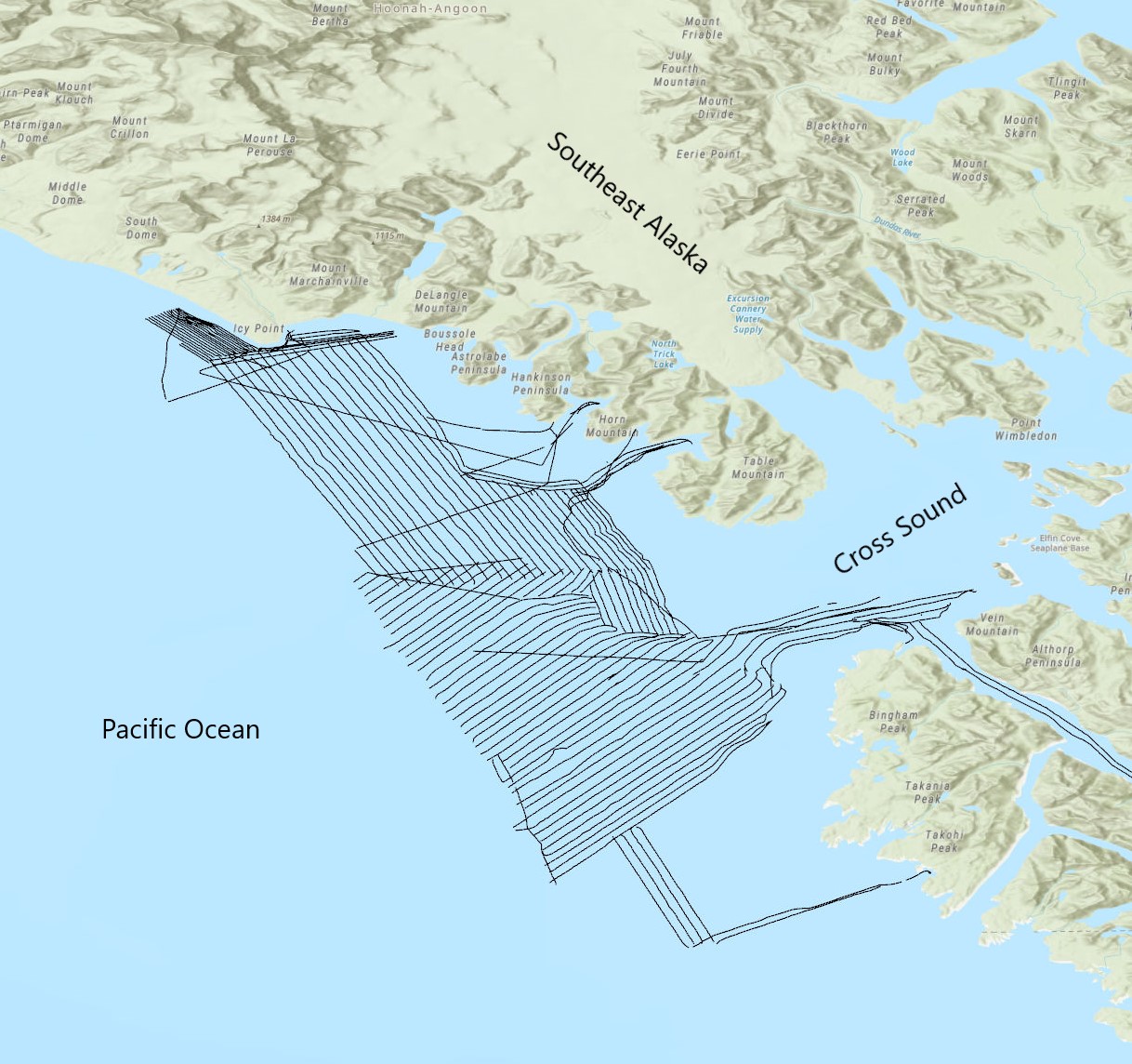
 Preview image of 2015 Cross Sound GSF tracklines
Related Field Activities
- 2015-629-FA - View Details
Suggested Citation
Dartnell, P., Brothers, D.S., Haeussler, P.J., Hatcher, G.A., Wyland, R., 2025, Multibeam line files from Cross Sound, Alaska collected during USGS field activity 2015-629-FA: U.S. Geological Survey data release, https://doi.org/10.5066/P1ED3GXB.