Home - Images - Products - Data - Publications - Contact
Return to the Dahlia Shoal home page

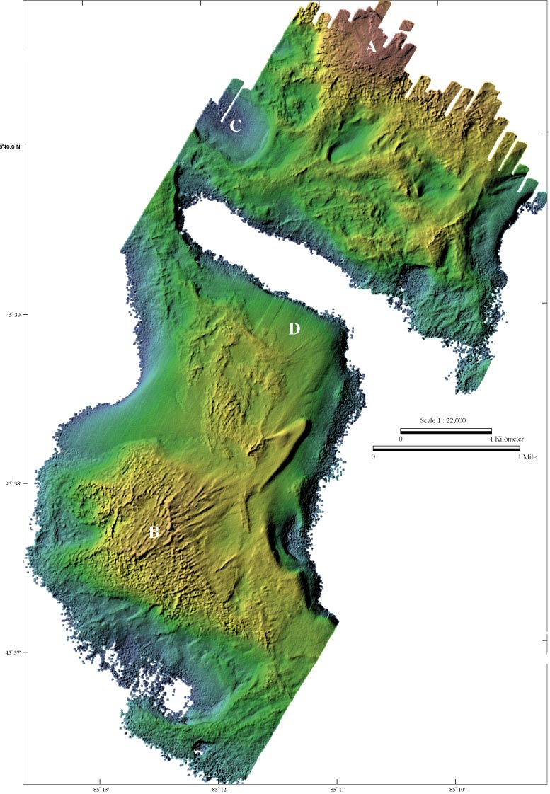
Color-coded shaded-relief bathymetry of Ile Aux Gallet (A) and Dahlia Shoal (B). Dahlia Shoal has rough relief, an arcuate ridge, and radiating ridges to the northeast similar to those seen at Gull Island Reef . Surrounding Ile Aux Gallet and Dahlia Shoal are numerous pits. The pit at (C) is about 650 m wide northeast to southwest and about 30 m deep at the edge of the survey. Origins of the pits are unknown, but at present the pits appear to be filling with sediment. The center of this region was unmapped because the water depths were too deep to be mapped with the lidar system.
Image metadata