Home - Images - Products - Data - Publications - Contact
Return to the Dahlia Shoal Perspective Views

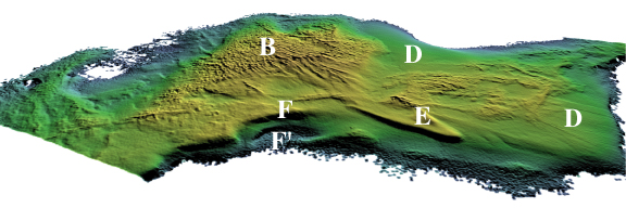
Oblique view of Dahlia Shoal (B) looking west. The ridge at (E), which is about 940 m long, is possibly a glacial depositional feature. Sand can be seen draping the rough relief (D) surrounding the shoal. The pit in the foreground drops in water depth from 10 to 26 m from F to F'. The vertical exaggeration is 4x and the distance across the bottom of the image is about 4.0 km.