Home - Images - Products - Data - Publications - Contact
Return to the Hog Island home page

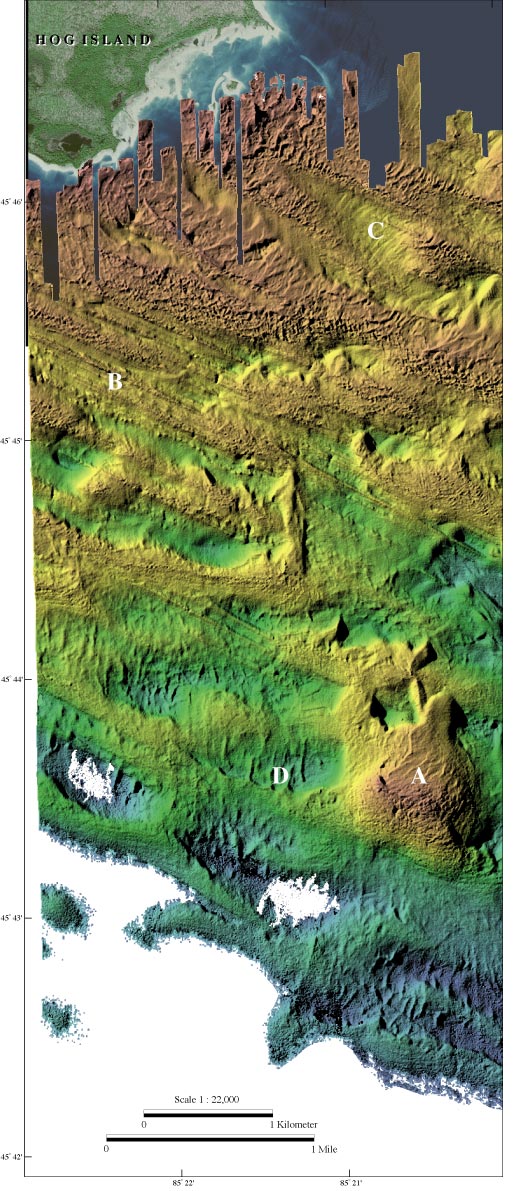
Color-coded shaded-relief bathymetry of the area southeast of Hog Island including Hog Island Reef (A). The reef is about 1200 by 1400 m and ranges in water depth from 2 to 18 m. Underwater observations on the reef report flat-lying outcrops of limestone (Somers, 1968). This mapped area is marked by strong northwest-southeast ridges and lineations (B) about a meter high and a few meters wide. An indistinct northeast-southwest lineation is also present, especially in the northeastern quadrant of the image (C). Draped over this mapped region are patches of smoother relief, possibly sand, which forms north-south bedforms (D).
Image metadata