Home - Images - Products - Data - Publications - Contact
Return to the San Francisco Bay Home Page

The above image is an illustration and should not be used for navigational purposes.
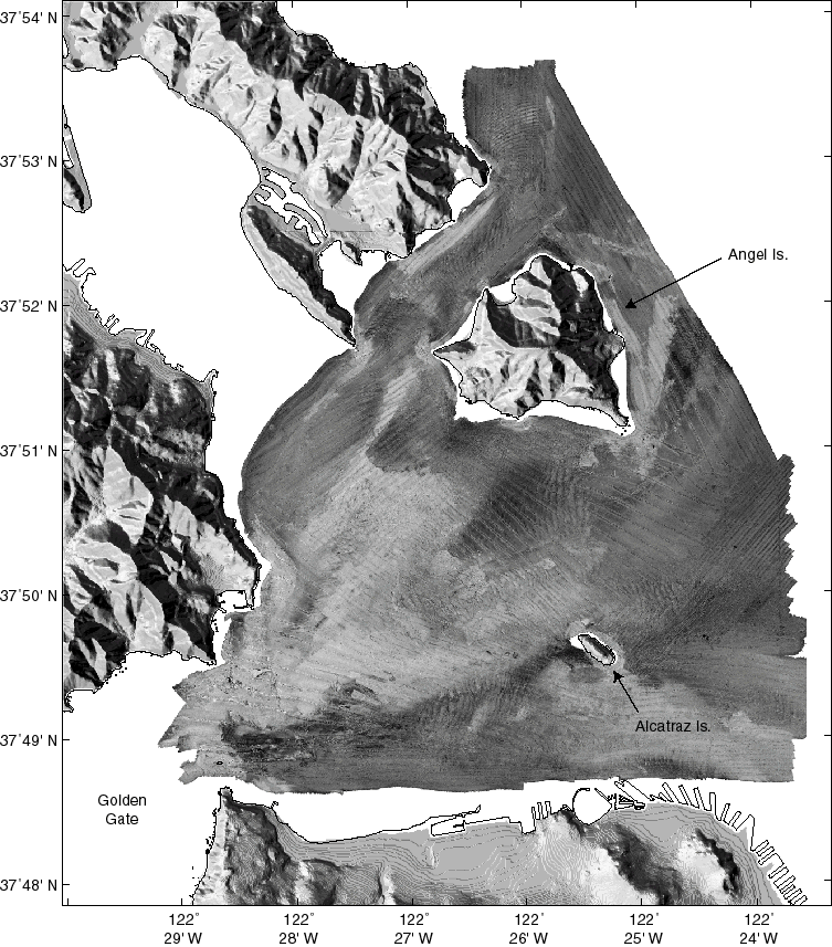
The backscatter maps of west-central San Francisco Bay were gridded at 2-m resolution.
The images of the disposal site just south of Alcatraz Island show that the dumped sediment apparently has been intrained into a flow back into the bay (to the north, then east of Alcatraz Island). This flow would be related to the incoming flood tide.
The shaded-relief image of the land surrounding San Francisco Bay was constructed using a DEM (Digital Elevation Model) with 10-meter resolution provided by the USGS National Mapping Division.