Other ID: H20091204
Status: Completed
Organization(s): USGS, St. Petersburg Coastal and Marine Science Center
Funding Program(s): Barrier Island Evolution Research - BIER Sedimentology (GX.17.MN00.F1F50.00)
Principal Investigator(s): M. Dennis Krohn, Karen L M Morgan
Affiliate Investigator(s):
Information Specialist(s): Kristy Guy
Data Type(s): Imagery: Photo, Location-Elevation: Navigation
Scientific Purpose/Goals: Collect Oblique Aerial Photos after Nor-easter Ida.
Vehicle(s): None
Start Port/Location: US Coast Guard Air Station, Elizabeth City, NC
End Port/Location: US Coast Guard Air Station, Elizabeth City, NC
Start Date: 2009-12-04
End Date: 2009-12-04
Equipment Used: Digital Camera, Global Positioning System (GPS)
Information to be Derived: Colllect Oblique Aerial Photos
Summary of Activity and Data Gathered: Oblique Aerial Photos collected. No GPS or Video was collected due to USCG rules.
Staff: Kristy Guy, M. Dennis Krohn, Karen L M Morgan
Affiliate Staff:
Notes: Because of the new USCG T-cockpit configuration (glass cockpit), no electronic gear associated with our GPS and video gear was allowed on board. We only had the 12 volt car battery box and one Nikon D1X DSLR. Still data were recorded on 2 Gb flash cards in the Nikon D1X. Only JPG images were collected. Images geo-referenced in post processing.
Location:
Ocean City, MD to Cape Hatteras, NC.
| Boundaries | |||
|---|---|---|---|
| North: 38.31999195 | South: 34.88652899 | West: -76.6378 | East: -73.38910439 |
Platform(s):
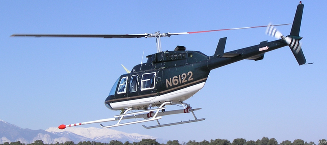 Helicopter (SP) |
Morgan, K.L.M., Krohn, M.D., Guy, K.K., 2015, Post-Nor'Ida coastal oblique aerial photographs collected from Ocean City, Maryland, to Hatteras, North Carolina, December 4, 2009: U.S. Geological Survey Data Series 930, https://doi.org/10.3133/ds930.
FAN 09ACH03 has data viewable in the CMGP Video and Photograph Portal. View the data in this application here. See the instructions for working with this application.
| Survey Equipment | Survey Info | Data Type(s) | Data Collected |
|---|---|---|---|
| Digital Camera | --- | Photo Video | DS 930 photos (oblique aerial photography NorIda) |
| Global Positioning System (GPS) | --- | Navigation | ds930_09ach03 (photopath navigation data) ds930_09ach03_1204_estimatedGPS (estimated gps navigation) |
