Other ID: none
Status: Completed
Organization(s): USGS, St. Petersburg Coastal and Marine Science Center
Funding Program(s):
Principal Investigator(s): Heather Henkel
Affiliate Investigator(s):
Information Specialist(s): Bryan McCloskey
Data Type(s): Imagery: Photo, Location-Elevation: Navigation
Scientific Purpose/Goals: To obtain water levels at benchmarks throughout Everglades National Park for groundtruthing local water gages.
Vehicle(s):
Start Port/Location: Tavernier, FL
End Port/Location: Homestead, FL
Start Date: 2011-09-15
End Date: 2011-09-16
Equipment Used: Digital Camera, Global Positioning System (GPS)
Information to be Derived: Surface water levels, lat/long coordinates
Summary of Activity and Data Gathered:
Staff: Bryan McCloskey
Affiliate Staff:
Notes:
Location:
Everglades National Park, FL
| Boundaries | |||
|---|---|---|---|
| North: 25.7689429 | South: 25.08305154 | West: -81.3695 | East: -80.60732655 |
Platform(s):
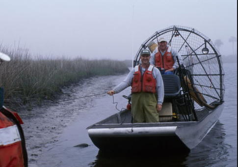 Airboat |  Helicopter (SP) |
| Survey Equipment | Survey Info | Data Type(s) | Data Collected |
|---|---|---|---|
| Digital Camera | --- | Photo Video | |
| Global Positioning System (GPS) | --- | Navigation |
