Other ID: none
Status: Completed
Organization(s): USGS, St. Petersburg Coastal and Marine Science Center
Funding Program(s): Barrier Island Evolution Research - BIER Sedimentology (GX.17.MN00.F1F50.00)
Principal Investigator(s): Jennifer Miselis
Affiliate Investigator(s):
Information Specialist(s): Nancy DeWitt
Data Type(s): Location-Elevation: Navigation, Seismics: Sub Bottom Profiler, Sonar: Interferometric, Sonar: Sound Velocity
Scientific Purpose/Goals: To measure seafloor changes and estimate sediment transport volumes
Vehicle(s): Ford F-350 Dually White (GSA)
Start Port/Location: Biloxi, MS
End Port/Location: Biloxi, MS
Start Date: 2013-08-22
End Date: 2013-09-01
Equipment Used: Valeport MiniSVS, Other, Ashtech Z-Xtreme DGPS, Valeport SVP, Chirp 424, F190 DGPS/IMU, Interferometric Bathymetry System
Information to be Derived: bathymetry, seafloor texture, stratigraphy
Summary of Activity and Data Gathered: Interferometric swath bathymetry (70 lines), interferometric backscatter (70 lines), and chirp sub-bottom profiles(3 lines), sound velocity profile casts (24)
Staff: Jennifer Miselis, Billy Reynolds
Affiliate Staff:
Notes: FACS logs generated digitally by D. Wiese and Jennifer Miselis.
Location:
Chandeleur Islands, LA
| Boundaries | |||
|---|---|---|---|
| North: 30.13212925 | South: 29.4549811 | West: -89.0098 | East: -88.51539965 |
Platform(s):
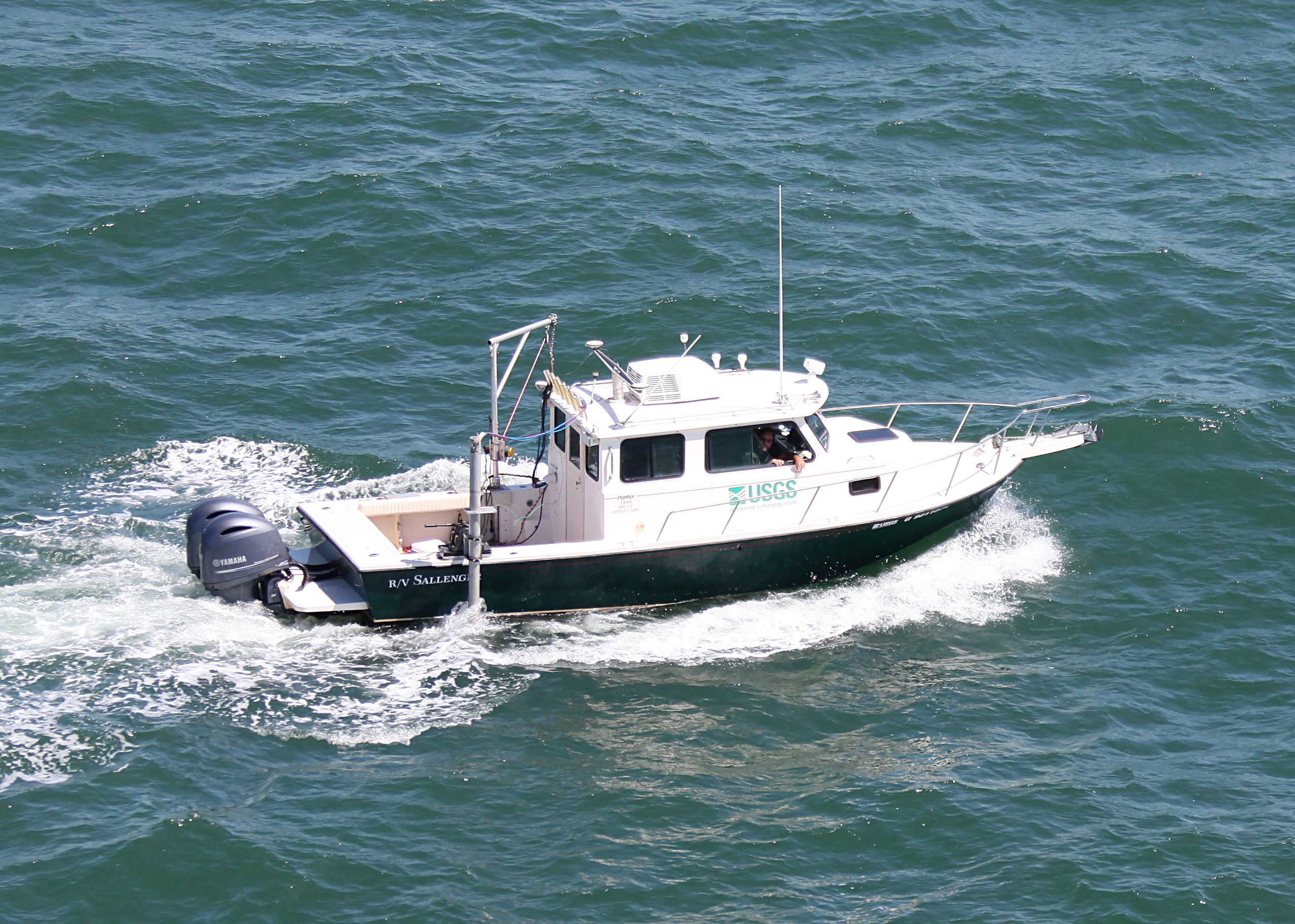
 Sallenger |
DeWitt, N.T., Miselis, J.L., Fredericks, J.J., Bernier, J.C., Reynolds, B.J., Kelso, K.W., Thompson, D.M., Flocks, J.G., Wiese, D.S., 2017, Coastal bathymetry data collected in 2013 from the Chandeleur Islands, Louisiana: U.S. Geological Survey Data Series 1032, https://doi.org/10.3133/ds1032.
Forde, A.S., Miselis, J.L., Flocks, J.G., Bernier, J.C., Wiese, D.S., 2014, Archive of digital chirp subbottom profile data collected during USGS cruises 13BIM02 and 13BIM07 offshore of the Chandeleur Islands, Louisiana, 2013: U.S. Geological Survey Data Series 897, https://doi.org/10.3133/ds897.
FAN 13BIM07 has data viewable in the GeoMappApp/Virtual Ocean applications. To view this data in these applications go to http://www.geomapapp.org/ and http://www.virtualocean.org/. See the instructions for locating USGS data in these applications. You can also view the imagery created from the SEGY data at https://cmgds.marine.usgs.gov/images.php?cruise=13BIM07.
| Survey Equipment | Survey Info | Data Type(s) | Data Collected |
|---|---|---|---|
| Valeport MiniSVS | --- | Sound Velocity | No data was collected |
| Other | --- | --- | --- |
| Ashtech Z-Xtreme DGPS | --- | Benchmarks Navigation | Data Series 897 nav (Chirp 424 data navigation) |
| Valeport SVP | --- | Sound Velocity | |
| Chirp 424 | --- | Sub Bottom Profiler | 13BIM07 Profiles (Chirp 424 data profiles) 13 BIM07 SEGY (Chirp 424 data agc SEGY) Data Series 897 arc (Chirp 424 data GIS) |
| F190 DGPS/IMU | --- | Navigation | |
| Interferometric Bathymetry System | --- | Interferometric | Chan13_IFB_tracklines.zip (Swath tracklines) Chan13_IFB_xyz.zip (Swath data 5-m BASE resolution) Chan13_GIS.zip (Esri ArcGIS project) Chandeleurs_2013_50_NAD83_NAVD88_GEOID09_DEM.zip (Bathymetry DEM 50-m cell size) |