Other ID: none
Status: Completed
Organization(s): USGS, Woods Hole Coastal and Marine Science Center
Funding Program(s):
Principal Investigator(s): Walter Barnhardt
Affiliate Investigator(s):
Information Specialist(s): Seth Ackerman
Data Type(s): Imagery: Photo, Imagery: Video, Location-Elevation: Navigation, Sampling: Geology
Scientific Purpose/Goals: To collect geologic framework information from inner shelf and inlet (where possible) for coastal-change studies
Vehicle(s):
Start Port/Location: Bass River, NJ
End Port/Location: Bass River, NJ
Start Date: 2018-10-21
End Date: 2018-10-26
Equipment Used: SeaBOSS, DGPS, SeaViewer 6000 HD Sea-Drop video camera, GoPro camera
Information to be Derived: surficial geology, etc
Summary of Activity and Data Gathered: Occupied ~70 sites over 2 days (Oct 22-23, 2018 - JD 295-296) aboard the R/V Petrel. SEABOSS with SeaViewer HD video camera and 2 GoPro cameras (one oblique down on miniSEABOSS as usual, another on arm extended out and down-facing. GoPro was time synced regularly to UTC using Camera Studio software on AckBookPro. Calibration photos were taken to ensure that GoPros and Video were synced. Navigation was DGPS from the R/V Petrel (Hemisphere Vecor VS330 (WGS 84)). Antenna aft stbd side on wheelhouse ~3 meters to the deployment point. Logging Petrel DGPS to DataBridge CF car; and into ArcMap GPS via Plugable usb to serial adapter on AckBookPro (parallels Win10) - saving 1 second point as Esri shp. Offset to the sampler deployment spot (from GPS antenna to the extended block 18 feet aft; 5 feet port). This offset is NOT accounted for in the SEABOSS position.
Staff: Seth Ackerman, Wayne Baldwin, Other
Affiliate Staff:
Notes: Funding project is LQ00-GHY3000. This is a sampling survey to compliment the geophysical survey done in May 2018.
Entries for this field activity are based on entries from Field Activity 2018-001-FA
Location:
Little Egg Inlet, New Jersey, United States, Atlantic Ocean
| Boundaries | |||
|---|---|---|---|
| North: 39.56970507 | South: 39.4243 | West: -74.45983887 | East: -74.22515869 |
Platform(s):
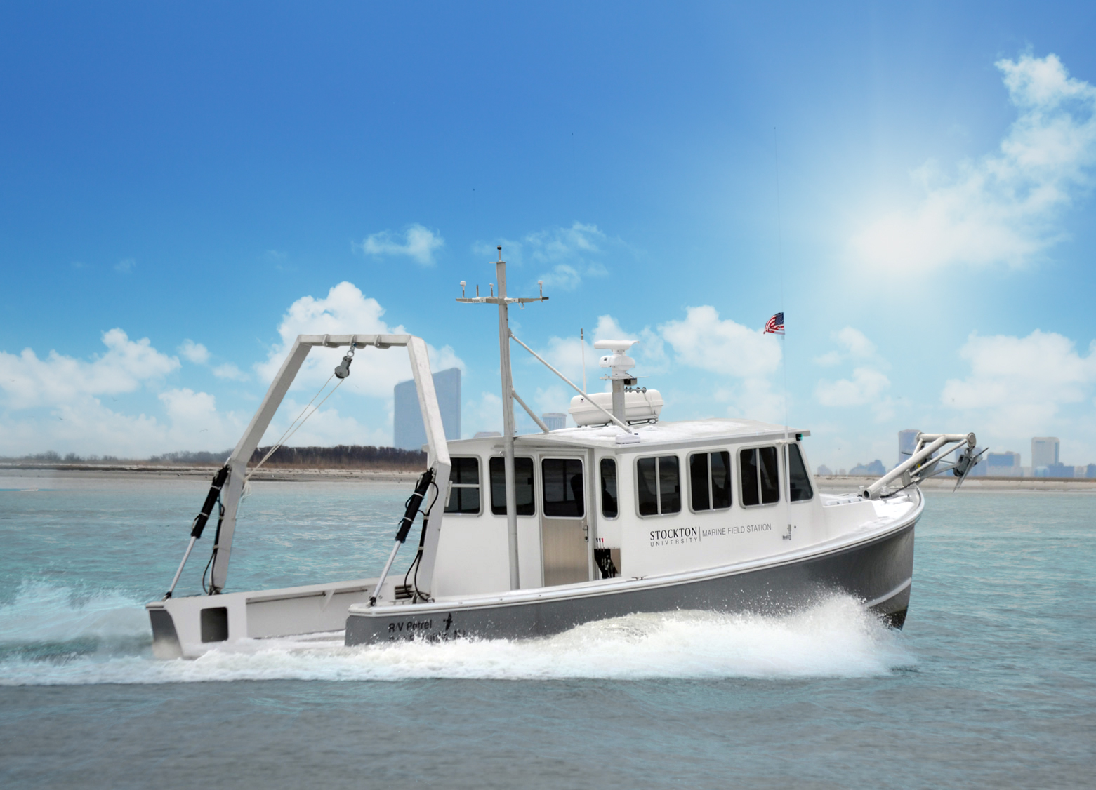 R/V Petrel - Stockton University |
Ackerman, S.D., Barnhardt, W.A., Worley, C.R., Nichols, A.R., Baldwin, W.E., and Evert, S., 2021, High-resolution geophysical and geological data collected in Little Egg Inlet and offshore the southern end of Long Beach Island, NJ, during USGS Field Activities 2018-001-FA and 2018-049-FA: U.S. Geological Survey data release, https://doi.org/10.5066/P9C3J33K .
| Survey Equipment | Survey Info | Data Type(s) | Data Collected |
|---|---|---|---|
| SeaBOSS | --- | Surveys (biological) Experiments (biological) Species ID Photo Video Geology Biology | 2018-049-FA_samples (Grain-size analysis results and locations of sediment samples ollected in Little Egg Inlet and offshore the southern end of Long Beach Island, NJ, during USGS Field Activity 2018-049-FA (simplified point shapefile and CSV files)) |
| DGPS | --- | Navigation | |
| SeaViewer 6000 HD Sea-Drop video camera | --- | Video | 2018-049-FA_VideoLines (Videos and tracklines along which bottom video was collected in Little Egg Inlet and offshore the southern end of Long Beach Island, NJ, during USGS Field Activity 2018-049-FA (MP4 video files and polyline shapefile)) |
| GoPro camera | --- | Photo Video | 2018-049-FA_photos (Photographs and locations of bottom still imagery collected in Little Egg Inlet and offshore the southern end of Long Beach Island, NJ, during USGS Field Activity 2018-049-FA (JPEG images, point shapefile, and CSV file)) |
