Other ID: Martens cruise
Status: Completed
Organization(s): USGS, Woods Hole Coastal and Marine Science Center
Funding Program(s): USGS GAS HYDRATES (LQ000FP)
Principal Investigator(s): Carolyn Ruppel
Affiliate Investigator(s): Karen Lloyd (UT-Knoxville); Chris Martens (UNC-Chapel Hill); Howard Mendlovitz (UNC-Chapel Hill)
Information Specialist(s): Carolyn Ruppel
Data Type(s): Sonar: Multibeam, Sonar: Single Beam
Scientific Purpose/Goals: USGS purpose: Collect EK80 data to support NSF-funded seep-based project for Prof Chris Martens at UNC
Vehicle(s):
Start Port/Location: Norfolk, VA
End Port/Location: Norfolk, VA
Start Date: 2023-08-31
End Date: 2023-09-09
Equipment Used: Simrad EK80
Information to be Derived: EK80 imagery
Summary of Activity and Data Gathered: EK80 (38 kHz) data and navigational data collected on outer shelf and upper continental slope offshore Virginia during lander, CTD, and other operations conducted by UNC and University of Tennessee-Knoxville scientists. USGS shipboard personnel Alex Nichols and Pat Berube for first phase and Lee-Gray Boze for second phase. At end of cruise, two UNC landers were lost and could not be recovered.
Staff: Lee-Gray Boze, Alexander Nichols, Patrick Berube
Affiliate Staff:
Notes: EK80 with 38 kHz transducer and custom Sharp tranducer mount & GPS
Entries for this field activity are based on entries updated for FY23 from Field Activity 2022-007-FA (due to lack of availability of same ship platform in 2023)
Location:
Upper continental slope Delaware to Hatteras
| Boundaries | |||
|---|---|---|---|
| North: 39.50404071 | South: 34.34343607 | West: -75.41015625 | East: -72.59765625 |
Platform(s):
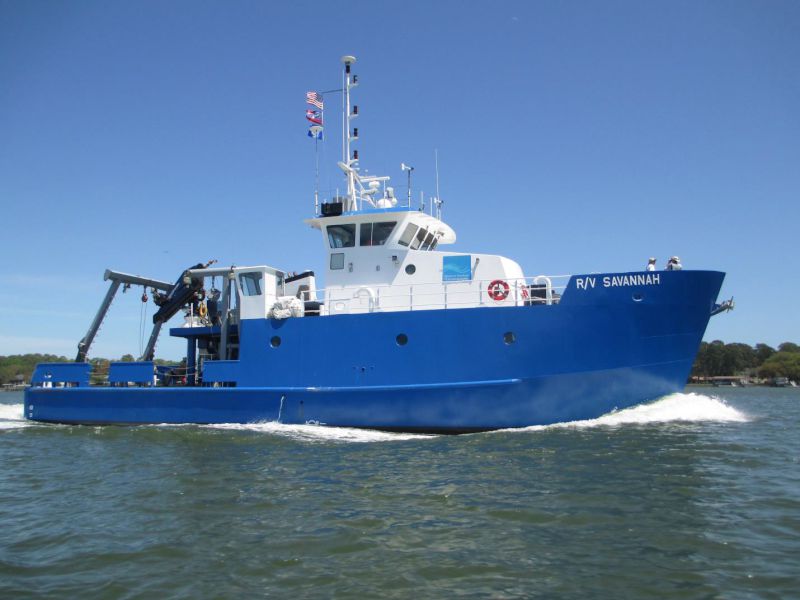 Savannah |
| Survey Equipment | Survey Info | Data Type(s) | Data Collected |
|---|---|---|---|
| Simrad EK80 | --- | Water column reflectivity Multibeam |
