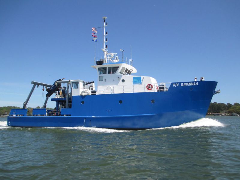
USGS purpose: Collect EK80 data to support NSF-funded seep-based project for Prof Chris Martens at UNC
Location
Upper continental slope Delaware to Hatteras
Summary
EK80 (38 kHz) data and navigational data collected on outer shelf and upper continental slope offshore Virginia during lander, CTD, and other operations conducted by UNC and University of Tennessee-Knoxville scientists. USGS shipboard personnel Alex Nichols and Pat Berube for first phase and Lee-Gray Boze for second phase. At end of cruise, two UNC landers were lost and could not be recovered.
Info derived
EK80 imagery
Comments
EK80 with 38 kHz transducer and custom Sharp tranducer mount & GPS
Entries for this field activity are based on entries updated for FY23 from Field Activity 2022-007-FA (due to lack of availability of same ship platform in 2023)