Other ID: none
Status: Pending
Organization(s): USGS, Woods Hole Coastal and Marine Science Center
Funding Program(s): Geological Mapping: Links to Coastal Evolution and Hazards (LQ00GHY)
Contact(s): Laura Brothers Information Specialist(s): Data Type(s): Sampling: Geology, Sonar: Multibeam, Seismics: Sub Bottom Profiler Scientific Purpose/Goals: To characterize the seabed in the Gulf of Maine Vehicle(s): Start Port/Location: Woods Hole, MA End Port/Location: Woods Hole, MA Start Date: 2026-09-13 End Date: 2026-10-16 Equipment Used: Piston corer, SeaBOSS, Kongsberg SBP 29 Information to be Derived: seabed character, porosity, sedimentary texture, and imagery Summary of Activity and Data Gathered: Notes:
Location:
Gulf of Maine
| Boundaries | |||
|---|---|---|---|
| North: 45.95114969 | South: 40.66952296 | West: -71.95312142 | East: -65.7421875 |
Platform(s):
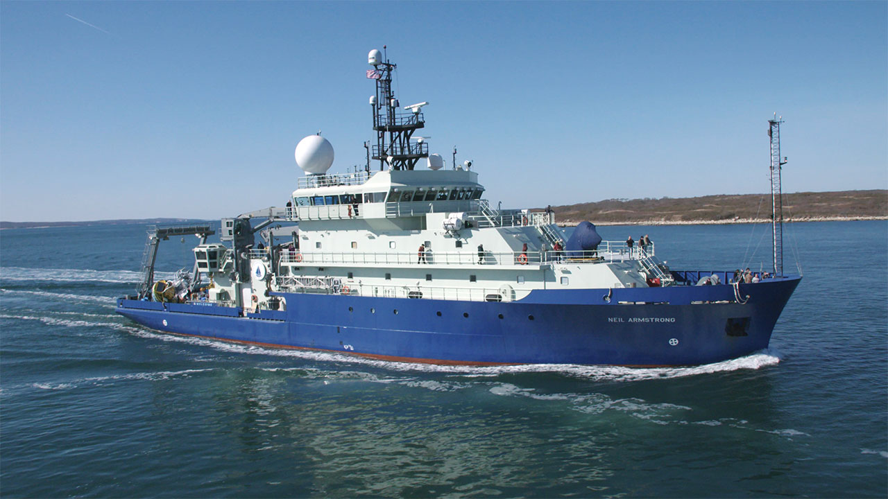 Neil Armstrong |
| Survey Equipment | Survey Info | Data Type(s) | Data Collected |
|---|---|---|---|
| Piston corer | --- | Geology | |
| SeaBOSS | --- | Surveys (biological) Experiments (biological) Species ID Photo Video Geology Biology | |
| Kongsberg SBP 29 | --- | Sub Bottom Profiler |
