AKA: none
Other ID: GIBS70-1-6,G-16-70-CB
Status: Completed
Organization(s): USGS, Corpus Christi, TX
Funding Program(s): Naval Oceanographic Experiment (MU199)
Principal Investigator(s):
Affiliate Investigator(s): Ray Martin (USGS),Robert Perry
Information Specialist(s):
Data Type(s): Location-Elevation: Navigation
Scientific Purpose/Goals: Geophysics, sampling
Vehicle(s):
Start Port/Location:
End Port/Location:
Start Date: 1970-10-12
End Date: 1970-10-28
Equipment Used: navigation
Information to be Derived:
Summary of Activity and Data Gathered:
Staff: Chester Brier
Affiliate Staff:
Richard Rojas - Unspecified
Rusty Massingill - Unspecified
Anthony Zuccaro - Unspecified
Ruben Naber - Unspecified
Jason Taylor - Unspecified
Ray Phelen - Unspecified
Notes:
Staff information imported from InfoBank
Ray Martin (USGS) - Chief Scientist
Robert Perry - Chief Scientist
Richard Rojas - Unspecified
Rusty Massingill - Unspecified
Anthony Zuccaro - Unspecified
Chester Brier - Unspecified
Ruben Naber - Unspecified
Jason Taylor - Unspecified
Ray Phelen - Unspecified
Location:
Caribbean Northeast
| Boundaries | |||
|---|---|---|---|
| North: 18.5 | South: 17 | West: -67.5 | East: -63.5 |
Platform(s):
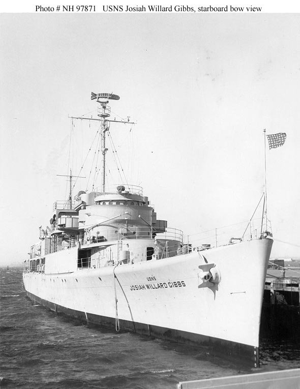 J. W. Gibbs |
| Survey Equipment | Survey Info | Data Type(s) | Data Collected |
|---|---|---|---|
| navigation | --- | Navigation |
