Disclaimer: this website is preliminary and under development
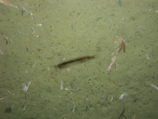
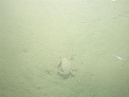
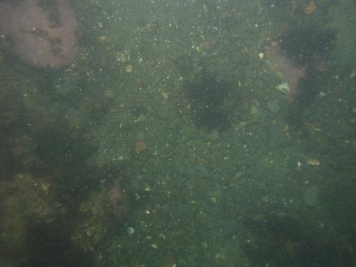
Images associated with FAN 2007-003-FA. Click thumbnail for detailed view.
There are 1329 public images total from 2007-003-FA.
Click a column header to sort by that column
| Image | Collection | Semantic Location | GPS Date Stamp | GPS Time Stamp | GPS Latitude | GPS Longitude | Attribution URL (DOI) | Credit | |
|---|---|---|---|---|---|---|---|---|---|
 |
Coastal Massachusetts | 2007-09-10 | 06:26:14 | 42.274776 N | -70.744225 W | https://doi.org/10.3133/ofr20091072 | U.S. Geological Survey | ||
 |
Coastal Massachusetts | 2007-09-10 | 06:26:27 | 42.274775 N | -70.744236 W | https://doi.org/10.3133/ofr20091072 | U.S. Geological Survey | ||
 |
Coastal Massachusetts | 2007-09-10 | 06:40:36 | 42.283546 N | -70.760982 W | https://doi.org/10.3133/ofr20091072 | U.S. Geological Survey | ||
 |
Coastal Massachusetts | 2007-09-10 | 06:41:37 | 42.283537 N | -70.761061 W | https://doi.org/10.3133/ofr20091072 | U.S. Geological Survey | ||
 |
Coastal Massachusetts | 2007-09-10 | 06:42:30 | 42.283521 N | -70.761132 W | https://doi.org/10.3133/ofr20091072 | U.S. Geological Survey | ||
 |
Coastal Massachusetts | 2007-09-10 | 06:43:01 | 42.283506 N | -70.761172 W | https://doi.org/10.3133/ofr20091072 | U.S. Geological Survey | ||
 |
Coastal Massachusetts | 2007-09-10 | 06:43:37 | 42.283509 N | -70.76122 W | https://doi.org/10.3133/ofr20091072 | U.S. Geological Survey | ||
 |
Coastal Massachusetts | 2007-09-10 | 06:44:10 | 42.283499 N | -70.761268 W | https://doi.org/10.3133/ofr20091072 | U.S. Geological Survey | ||
 |
Coastal Massachusetts | 2007-09-10 | 06:58:31 | 42.287394 N | -70.7820269999 W | https://doi.org/10.3133/ofr20091072 | U.S. Geological Survey | ||
 |
Coastal Massachusetts | 2007-09-10 | 06:58:48 | 42.287391 N | -70.782066 W | https://doi.org/10.3133/ofr20091072 | U.S. Geological Survey | ||
 |
Coastal Massachusetts | 2007-09-10 | 06:59:22 | 42.287386 N | -70.7821389998528 W | https://doi.org/10.3133/ofr20091072 | U.S. Geological Survey | ||
 |
Coastal Massachusetts | 2007-09-10 | 07:59:08 | 42.281554 N | -70.800098 W | https://doi.org/10.3133/ofr20091072 | U.S. Geological Survey | ||
 |
Coastal Massachusetts | 2007-09-10 | 07:02:38 | 42.28728 N | -70.7825009999194 W | https://doi.org/10.3133/ofr20091072 | U.S. Geological Survey | ||
 |
Coastal Massachusetts | 2007-09-10 | 07:00:55 | 42.28734 N | -70.782335 W | https://doi.org/10.3133/ofr20091072 | U.S. Geological Survey | ||
 |
Coastal Massachusetts | 2007-09-10 | 07:59:48 | 42.281507 N | -70.800081 W | https://doi.org/10.3133/ofr20091072 | U.S. Geological Survey | ||
 |
Coastal Massachusetts | 2007-09-10 | 08:00:36 | 42.281441 N | -70.800109 W | https://doi.org/10.3133/ofr20091072 | U.S. Geological Survey | ||
 |
Coastal Massachusetts | 2007-09-10 | 08:01:01 | 42.281408 N | -70.800147 W | https://doi.org/10.3133/ofr20091072 | U.S. Geological Survey | ||
 |
Coastal Massachusetts | 2007-09-10 | 08:03:15 | 42.2812270001028 N | -70.800335 W | https://doi.org/10.3133/ofr20091072 | U.S. Geological Survey | ||
 |
Coastal Massachusetts | 2007-09-10 | 08:02:00 | 42.281332 N | -70.800218 W | https://doi.org/10.3133/ofr20091072 | U.S. Geological Survey | ||
 |
Coastal Massachusetts | 2007-09-10 | 08:03:36 | 42.2812 N | -70.800368 W | https://doi.org/10.3133/ofr20091072 | U.S. Geological Survey | ||
 |
Coastal Massachusetts | 2007-09-10 | 08:18:05 | 42.275322 N | -70.813794 W | https://doi.org/10.3133/ofr20091072 | U.S. Geological Survey | ||
 |
Coastal Massachusetts | 2007-09-10 | 08:18:28 | 42.275285 N | -70.813842 W | https://doi.org/10.3133/ofr20091072 | U.S. Geological Survey | ||
 |
Coastal Massachusetts | 2007-09-10 | 08:19:20 | 42.275205 N | -70.813941 W | https://doi.org/10.3133/ofr20091072 | U.S. Geological Survey | ||
 |
Coastal Massachusetts | 2007-09-10 | 08:20:59 | 42.2750470000722 N | -70.814102 W | https://doi.org/10.3133/ofr20091072 | U.S. Geological Survey | ||
 |
Coastal Massachusetts | 2007-09-10 | 08:20:16 | 42.27511 N | -70.814032 W | https://doi.org/10.3133/ofr20091072 | U.S. Geological Survey | ||
 |
Coastal Massachusetts | 2007-09-10 | 08:21:27 | 42.275009 N | -70.814155 W | https://doi.org/10.3133/ofr20091072 | U.S. Geological Survey | ||
 |
Coastal Massachusetts | 2007-09-10 | 08:22:13 | 42.274934 N | -70.814234 W | https://doi.org/10.3133/ofr20091072 | U.S. Geological Survey | ||
 |
Coastal Massachusetts | 2007-09-10 | 08:37:46 | 42.2933189999278 N | -70.808486 W | https://doi.org/10.3133/ofr20091072 | U.S. Geological Survey | ||
 |
Coastal Massachusetts | 2007-09-10 | 08:39:09 | 42.29319 N | -70.808664 W | https://doi.org/10.3133/ofr20091072 | U.S. Geological Survey | ||
 |
Coastal Massachusetts | 2007-09-10 | 08:39:45 | 42.293145 N | -70.8087289999278 W | https://doi.org/10.3133/ofr20091072 | U.S. Geological Survey |