Disclaimer: this website is preliminary and under development
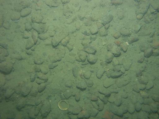
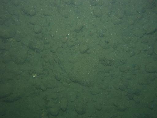
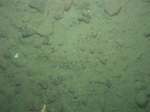
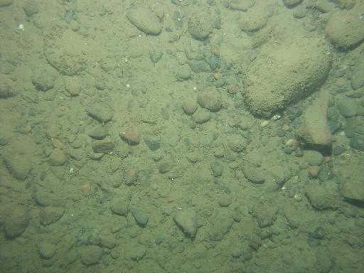
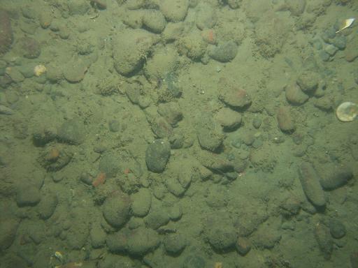
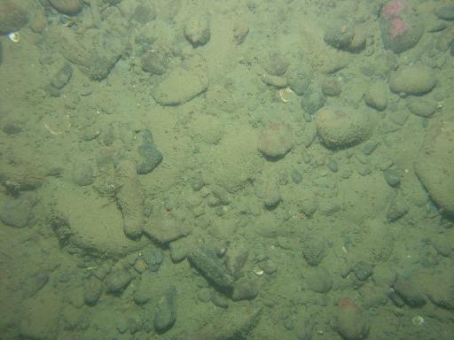
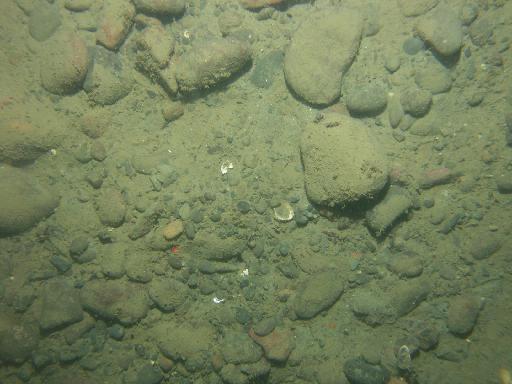
Images associated with FAN 2007-003-FA. Click thumbnail for detailed view.
There are 1329 public images total from 2007-003-FA.
Click a column header to sort by that column
| Image | Collection | Semantic Location | GPS Date Stamp | GPS Time Stamp | GPS Latitude | GPS Longitude | Attribution URL (DOI) | Credit | |
|---|---|---|---|---|---|---|---|---|---|
 |
Coastal Massachusetts | 2007-09-10 | 00:59:41 | 42.231513 N | -70.6605830000778 W | https://doi.org/10.3133/ofr20091072 | U.S. Geological Survey | ||
 |
Coastal Massachusetts | 2007-09-10 | 01:00:14 | 42.231487 N | -70.660743 W | https://doi.org/10.3133/ofr20091072 | U.S. Geological Survey | ||
 |
Coastal Massachusetts | 2007-09-10 | 01:01:18 | 42.231418 N | -70.661042 W | https://doi.org/10.3133/ofr20091072 | U.S. Geological Survey | ||
 |
Coastal Massachusetts | 2007-09-10 | 01:01:54 | 42.231364 N | -70.661193 W | https://doi.org/10.3133/ofr20091072 | U.S. Geological Survey | ||
 |
Coastal Massachusetts | 2007-09-10 | 01:02:52 | 42.231285 N | -70.661433 W | https://doi.org/10.3133/ofr20091072 | U.S. Geological Survey | ||
 |
Coastal Massachusetts | 2007-09-10 | 01:04:00 | 42.231178 N | -70.661729 W | https://doi.org/10.3133/ofr20091072 | U.S. Geological Survey | ||
 |
Coastal Massachusetts | 2007-09-10 | 01:17:24 | 42.24364 N | -70.665738 W | https://doi.org/10.3133/ofr20091072 | U.S. Geological Survey | ||
 |
Coastal Massachusetts | 2007-09-10 | 01:04:56 | 42.2310969999222 N | -70.661985 W | https://doi.org/10.3133/ofr20091072 | U.S. Geological Survey | ||
 |
Coastal Massachusetts | 2007-09-10 | 01:18:00 | 42.243609 N | -70.665906 W | https://doi.org/10.3133/ofr20091072 | U.S. Geological Survey | ||
 |
Coastal Massachusetts | 2007-09-10 | 01:18:35 | 42.243542 N | -70.666047 W | https://doi.org/10.3133/ofr20091072 | U.S. Geological Survey | ||
 |
Coastal Massachusetts | 2007-09-10 | 01:19:34 | 42.243526 N | -70.66628699985 W | https://doi.org/10.3133/ofr20091072 | U.S. Geological Survey | ||
 |
Coastal Massachusetts | 2007-09-10 | 01:19:59 | 42.243508 N | -70.666386 W | https://doi.org/10.3133/ofr20091072 | U.S. Geological Survey | ||
 |
Coastal Massachusetts | 2007-09-10 | 01:21:20 | 42.243426 N | -70.666666 W | https://doi.org/10.3133/ofr20091072 | U.S. Geological Survey | ||
 |
Coastal Massachusetts | 2007-09-10 | 01:21:48 | 42.243364 N | -70.666763 W | https://doi.org/10.3133/ofr20091072 | U.S. Geological Survey | ||
 |
Coastal Massachusetts | 2007-09-10 | 01:20:39 | 42.243469 N | -70.666526 W | https://doi.org/10.3133/ofr20091072 | U.S. Geological Survey | ||
 |
Coastal Massachusetts | 2007-09-10 | 01:22:38 | 42.243342 N | -70.666977 W | https://doi.org/10.3133/ofr20091072 | U.S. Geological Survey | ||
 |
Coastal Massachusetts | 2007-09-10 | 01:22:13 | 42.243321 N | -70.666852 W | https://doi.org/10.3133/ofr20091072 | U.S. Geological Survey | ||
 |
Coastal Massachusetts | 2007-09-10 | 01:22:49 | 42.24333 N | -70.667015 W | https://doi.org/10.3133/ofr20091072 | U.S. Geological Survey | ||
 |
Coastal Massachusetts | 2007-09-10 | 01:37:55 | 42.242012 N | -70.688777 W | https://doi.org/10.3133/ofr20091072 | U.S. Geological Survey | ||
 |
Coastal Massachusetts | 2007-09-10 | 01:38:17 | 42.241964 N | -70.688839 W | https://doi.org/10.3133/ofr20091072 | U.S. Geological Survey | ||
 |
Coastal Massachusetts | 2007-09-10 | 01:23:44 | 42.243249 N | -70.6672 W | https://doi.org/10.3133/ofr20091072 | U.S. Geological Survey | ||
 |
Coastal Massachusetts | 2007-09-10 | 01:39:06 | 42.24186 N | -70.688999 W | https://doi.org/10.3133/ofr20091072 | U.S. Geological Survey | ||
 |
Coastal Massachusetts | 2007-09-10 | 01:38:40 | 42.241916 N | -70.688916 W | https://doi.org/10.3133/ofr20091072 | U.S. Geological Survey | ||
 |
Coastal Massachusetts | 2007-09-10 | 01:40:37 | 42.241676 N | -70.689261 W | https://doi.org/10.3133/ofr20091072 | U.S. Geological Survey | ||
 |
Coastal Massachusetts | 2007-09-10 | 01:41:29 | 42.241572 N | -70.689424 W | https://doi.org/10.3133/ofr20091072 | U.S. Geological Survey | ||
 |
Coastal Massachusetts | 2007-09-10 | 01:39:48 | 42.241768 N | -70.689114 W | https://doi.org/10.3133/ofr20091072 | U.S. Geological Survey | ||
 |
Coastal Massachusetts | 2007-09-10 | 01:39:29 | 42.241814 N | -70.689067 W | https://doi.org/10.3133/ofr20091072 | U.S. Geological Survey | ||
 |
Coastal Massachusetts | 2007-09-10 | 01:42:15 | 42.241477 N | -70.689557 W | https://doi.org/10.3133/ofr20091072 | U.S. Geological Survey | ||
 |
Coastal Massachusetts | 2007-09-10 | 01:42:34 | 42.241435 N | -70.689615 W | https://doi.org/10.3133/ofr20091072 | U.S. Geological Survey | ||
 |
Coastal Massachusetts | 2007-09-10 | 01:54:51 | 42.230378 N | -70.694088 W | https://doi.org/10.3133/ofr20091072 | U.S. Geological Survey |