Disclaimer: this website is preliminary and under development
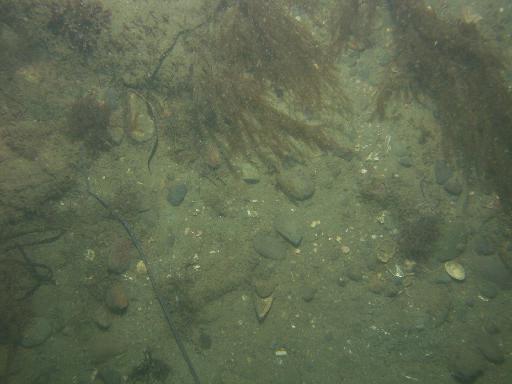
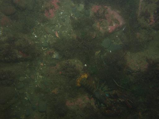
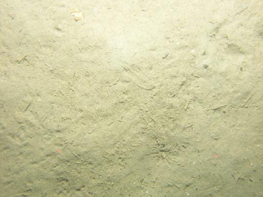
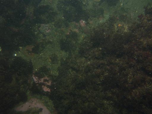
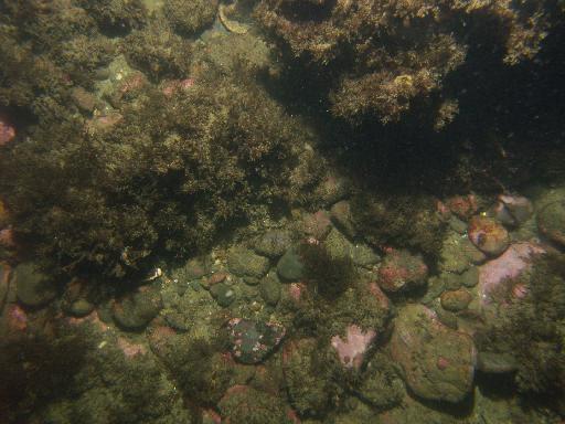
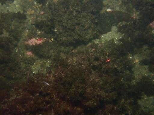
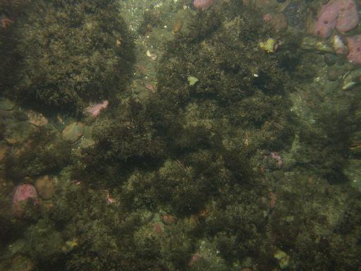
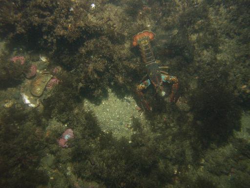
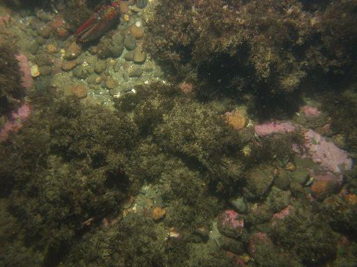
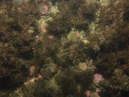
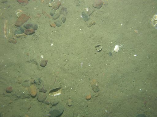
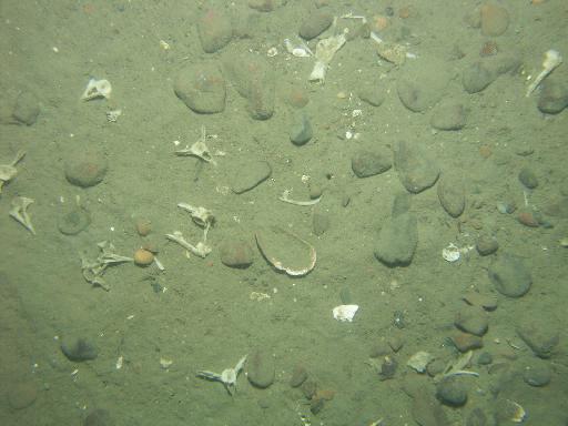
Images associated with FAN 2007-003-FA. Click thumbnail for detailed view.
There are 1329 public images total from 2007-003-FA.
Click a column header to sort by that column
| Image | Collection | Semantic Location | GPS Date Stamp | GPS Time Stamp | GPS Latitude | GPS Longitude | Attribution URL (DOI) | Credit | |
|---|---|---|---|---|---|---|---|---|---|
 |
Coastal Massachusetts | 2007-09-09 | 01:31:53 | 42.170193 N | -70.6979970001167 W | https://doi.org/10.3133/ofr20091072 | U.S. Geological Survey | ||
 |
Coastal Massachusetts | 2007-09-09 | 01:18:32 | 42.159715 N | -70.693784 W | https://doi.org/10.3133/ofr20091072 | U.S. Geological Survey | ||
 |
Coastal Massachusetts | 2007-09-09 | 01:33:11 | 42.170235 N | -70.697772 W | https://doi.org/10.3133/ofr20091072 | U.S. Geological Survey | ||
 |
Coastal Massachusetts | 2007-09-09 | 01:34:20 | 42.1703 N | -70.69762 W | https://doi.org/10.3133/ofr20091072 | U.S. Geological Survey | ||
 |
Coastal Massachusetts | 2007-09-09 | 01:36:08 | 42.170457 N | -70.697323 W | https://doi.org/10.3133/ofr20091072 | U.S. Geological Survey | ||
 |
Coastal Massachusetts | 2007-09-09 | 01:36:32 | 42.170495 N | -70.697253 W | https://doi.org/10.3133/ofr20091072 | U.S. Geological Survey | ||
 |
Coastal Massachusetts | 2007-09-09 | 01:36:45 | 42.170518 N | -70.6972169999 W | https://doi.org/10.3133/ofr20091072 | U.S. Geological Survey | ||
 |
Coastal Massachusetts | 2007-09-09 | 01:38:37 | 42.170674 N | -70.696914 W | https://doi.org/10.3133/ofr20091072 | U.S. Geological Survey | ||
 |
Coastal Massachusetts | 2007-09-09 | 01:37:24 | 42.170573 N | -70.6971130000972 W | https://doi.org/10.3133/ofr20091072 | U.S. Geological Survey | ||
 |
Coastal Massachusetts | 2007-09-09 | 01:38:57 | 42.170701 N | -70.696866 W | https://doi.org/10.3133/ofr20091072 | U.S. Geological Survey | ||
 |
Coastal Massachusetts | 2007-09-09 | 01:51:00 | 42.165844 N | -70.680592 W | https://doi.org/10.3133/ofr20091072 | U.S. Geological Survey | ||
 |
Coastal Massachusetts | 2007-09-09 | 01:50:32 | 42.165828 N | -70.680691 W | https://doi.org/10.3133/ofr20091072 | U.S. Geological Survey | ||
 |
Coastal Massachusetts | 2007-09-09 | 01:52:37 | 42.16589 N | -70.680265 W | https://doi.org/10.3133/ofr20091072 | U.S. Geological Survey | ||
 |
Coastal Massachusetts | 2007-09-09 | 01:52:15 | 42.165875 N | -70.680342 W | https://doi.org/10.3133/ofr20091072 | U.S. Geological Survey | ||
 |
Coastal Massachusetts | 2007-09-09 | 01:51:28 | 42.165854 N | -70.680503 W | https://doi.org/10.3133/ofr20091072 | U.S. Geological Survey | ||
 |
Coastal Massachusetts | 2007-09-09 | 01:53:21 | 42.165923 N | -70.6801129998695 W | https://doi.org/10.3133/ofr20091072 | U.S. Geological Survey | ||
 |
Coastal Massachusetts | 2007-09-09 | 01:55:21 | 42.166002 N | -70.679684 W | https://doi.org/10.3133/ofr20091072 | U.S. Geological Survey | ||
 |
Coastal Massachusetts | 2007-09-09 | 01:54:11 | 42.165955 N | -70.679931 W | https://doi.org/10.3133/ofr20091072 | U.S. Geological Survey | ||
 |
Coastal Massachusetts | 2007-09-09 | 01:54:49 | 42.165981 N | -70.679791 W | https://doi.org/10.3133/ofr20091072 | U.S. Geological Survey | ||
 |
Coastal Massachusetts | 2007-09-09 | 01:56:07 | 42.166025 N | -70.679535 W | https://doi.org/10.3133/ofr20091072 | U.S. Geological Survey | ||
 |
Coastal Massachusetts | 2007-09-09 | 01:57:11 | 42.166061 N | -70.679314 W | https://doi.org/10.3133/ofr20091072 | U.S. Geological Survey | ||
 |
Coastal Massachusetts | 2007-09-09 | 01:58:02 | 42.166092 N | -70.679138 W | https://doi.org/10.3133/ofr20091072 | U.S. Geological Survey | ||
 |
Coastal Massachusetts | 2007-09-09 | 01:58:36 | 42.166105 N | -70.679027 W | https://doi.org/10.3133/ofr20091072 | U.S. Geological Survey | ||
 |
Coastal Massachusetts | 2007-09-09 | 02:16:50 | 42.162407 N | -70.646019 W | https://doi.org/10.3133/ofr20091072 | U.S. Geological Survey | ||
 |
Coastal Massachusetts | 2007-09-09 | 02:17:55 | 42.162442 N | -70.64594 W | https://doi.org/10.3133/ofr20091072 | U.S. Geological Survey | ||
 |
Coastal Massachusetts | 2007-09-09 | 01:59:21 | 42.166123 N | -70.678875 W | https://doi.org/10.3133/ofr20091072 | U.S. Geological Survey | ||
 |
Coastal Massachusetts | 2007-09-09 | 02:18:49 | 42.162483 N | -70.64588 W | https://doi.org/10.3133/ofr20091072 | U.S. Geological Survey | ||
 |
Coastal Massachusetts | 2007-09-09 | 02:19:57 | 42.162536 N | -70.645822 W | https://doi.org/10.3133/ofr20091072 | U.S. Geological Survey | ||
 |
Coastal Massachusetts | 2007-09-09 | 02:19:17 | 42.162521 N | -70.645852 W | https://doi.org/10.3133/ofr20091072 | U.S. Geological Survey | ||
 |
Coastal Massachusetts | 2007-09-09 | 02:21:02 | 42.162585 N | -70.645763 W | https://doi.org/10.3133/ofr20091072 | U.S. Geological Survey |