Disclaimer: this website is preliminary and under development
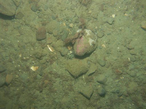
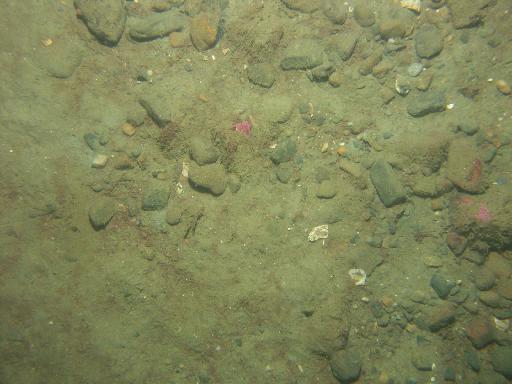
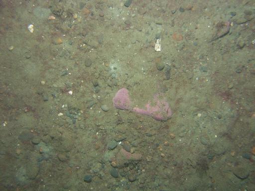
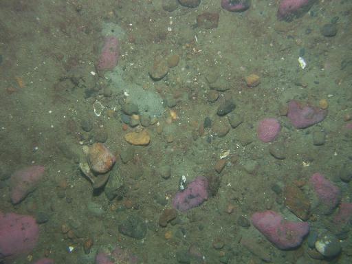
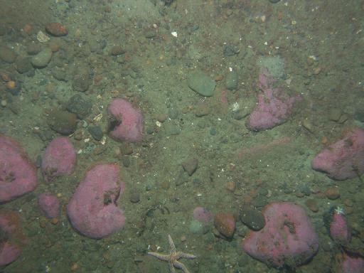
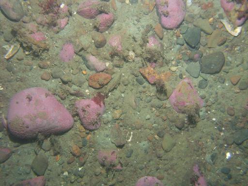
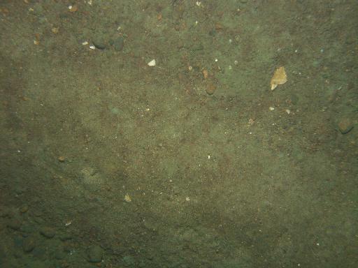
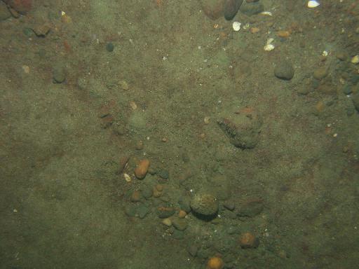
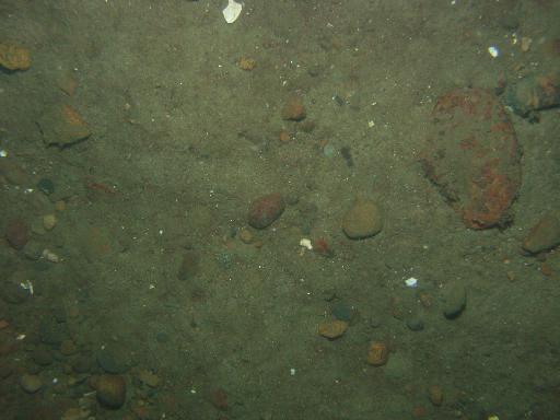
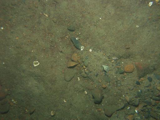
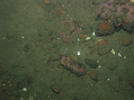
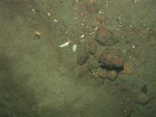
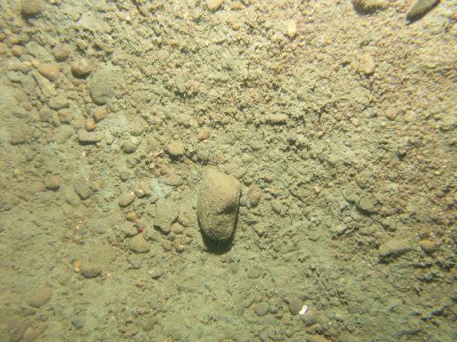
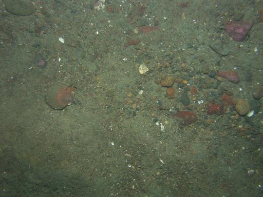
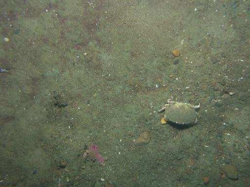
Images associated with FAN 2007-003-FA. Click thumbnail for detailed view.
There are 1329 public images total from 2007-003-FA.
Click a column header to sort by that column
| Image | Collection | Semantic Location | GPS Date Stamp | GPS Time Stamp | GPS Latitude | GPS Longitude | Attribution URL (DOI) | Credit | |
|---|---|---|---|---|---|---|---|---|---|
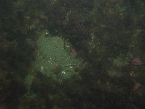 |
Coastal Massachusetts | 2007-09-08 | 20:30:57 | 42.137835 N | -70.657514 W | https://doi.org/10.3133/ofr20091072 | U.S. Geological Survey | ||
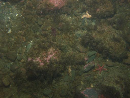 |
Coastal Massachusetts | 2007-09-08 | 20:31:30 | 42.138011 N | -70.657427 W | https://doi.org/10.3133/ofr20091072 | U.S. Geological Survey | ||
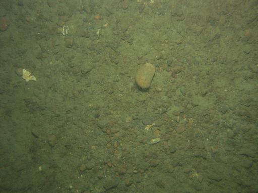 |
Coastal Massachusetts | 2007-09-08 | 20:47:34 | 42.1288 N | -70.645215 W | https://doi.org/10.3133/ofr20091072 | U.S. Geological Survey | ||
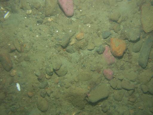 |
Coastal Massachusetts | 2007-09-08 | 20:44:31 | 42.128468 N | -70.644661 W | https://doi.org/10.3133/ofr20091072 | U.S. Geological Survey | ||
 |
Coastal Massachusetts | 2007-09-08 | 20:45:24 | 42.128572 N | -70.644817000075 W | https://doi.org/10.3133/ofr20091072 | U.S. Geological Survey | ||
 |
Coastal Massachusetts | 2007-09-08 | 20:46:32 | 42.128684 N | -70.645031 W | https://doi.org/10.3133/ofr20091072 | U.S. Geological Survey | ||
 |
Coastal Massachusetts | 2007-09-08 | 20:48:25 | 42.128941 N | -70.645409 W | https://doi.org/10.3133/ofr20091072 | U.S. Geological Survey | ||
 |
Coastal Massachusetts | 2007-09-08 | 20:49:30 | 42.129136 N | -70.6456189999167 W | https://doi.org/10.3133/ofr20091072 | U.S. Geological Survey | ||
 |
Coastal Massachusetts | 2007-09-08 | 20:49:05 | 42.129059 N | -70.645539 W | https://doi.org/10.3133/ofr20091072 | U.S. Geological Survey | ||
 |
Coastal Massachusetts | 2007-09-08 | 20:49:46 | 42.129189 N | -70.645671 W | https://doi.org/10.3133/ofr20091072 | U.S. Geological Survey | ||
 |
Coastal Massachusetts | 2007-09-08 | 21:07:48 | 42.128166 N | -70.631382 W | https://doi.org/10.3133/ofr20091072 | U.S. Geological Survey | ||
 |
Coastal Massachusetts | 2007-09-08 | 21:07:10 | 42.128021 N | -70.631527000125 W | https://doi.org/10.3133/ofr20091072 | U.S. Geological Survey | ||
 |
Coastal Massachusetts | 2007-09-08 | 21:08:22 | 42.128302 N | -70.631306 W | https://doi.org/10.3133/ofr20091072 | U.S. Geological Survey | ||
 |
Coastal Massachusetts | 2007-09-08 | 21:09:42 | 42.12866 N | -70.631118 W | https://doi.org/10.3133/ofr20091072 | U.S. Geological Survey | ||
 |
Coastal Massachusetts | 2007-09-08 | 21:10:42 | 42.128917 N | -70.630907 W | https://doi.org/10.3133/ofr20091072 | U.S. Geological Survey | ||
 |
Coastal Massachusetts | 2007-09-08 | 21:11:36 | 42.129158 N | -70.630742 W | https://doi.org/10.3133/ofr20091072 | U.S. Geological Survey | ||
 |
Coastal Massachusetts | 2007-09-08 | 21:09:07 | 42.1285 N | -70.6311769998833 W | https://doi.org/10.3133/ofr20091072 | U.S. Geological Survey | ||
 |
Coastal Massachusetts | 2007-09-08 | 21:12:38 | 42.12943 N | -70.630623 W | https://doi.org/10.3133/ofr20091072 | U.S. Geological Survey | ||
 |
Coastal Massachusetts | 2007-09-08 | 21:25:44 | 42.123734 N | -70.608107 W | https://doi.org/10.3133/ofr20091072 | U.S. Geological Survey | ||
 |
Coastal Massachusetts | 2007-09-08 | 21:26:35 | 42.123957 N | -70.607897 W | https://doi.org/10.3133/ofr20091072 | U.S. Geological Survey | ||
 |
Coastal Massachusetts | 2007-09-08 | 21:27:49 | 42.124309 N | -70.607654 W | https://doi.org/10.3133/ofr20091072 | U.S. Geological Survey | ||
 |
Coastal Massachusetts | 2007-09-08 | 21:29:13 | 42.124714 N | -70.607378 W | https://doi.org/10.3133/ofr20091072 | U.S. Geological Survey | ||
 |
Coastal Massachusetts | 2007-09-08 | 21:28:35 | 42.124531 N | -70.607506 W | https://doi.org/10.3133/ofr20091072 | U.S. Geological Survey | ||
 |
Coastal Massachusetts | 2007-09-08 | 21:30:03 | 42.124977 N | -70.607217 W | https://doi.org/10.3133/ofr20091072 | U.S. Geological Survey | ||
 |
Coastal Massachusetts | 2007-09-08 | 21:30:48 | 42.125216 N | -70.607079 W | https://doi.org/10.3133/ofr20091072 | U.S. Geological Survey | ||
 |
Coastal Massachusetts | 2007-09-08 | 21:31:57 | 42.125585 N | -70.606853 W | https://doi.org/10.3133/ofr20091072 | U.S. Geological Survey | ||
 |
Coastal Massachusetts | 2007-09-08 | 21:31:26 | 42.125409 N | -70.606962 W | https://doi.org/10.3133/ofr20091072 | U.S. Geological Survey | ||
 |
Coastal Massachusetts | 2007-09-08 | 21:32:23 | 42.125682 N | -70.606771 W | https://doi.org/10.3133/ofr20091072 | U.S. Geological Survey | ||
 |
Coastal Massachusetts | 2007-09-08 | 21:45:34 | 42.138283 N | -70.604619 W | https://doi.org/10.3133/ofr20091072 | U.S. Geological Survey | ||
 |
Coastal Massachusetts | 2007-09-08 | 21:45:52 | 42.138336 N | -70.604529 W | https://doi.org/10.3133/ofr20091072 | U.S. Geological Survey |