The image displayed on this page is a thumbnail, please use the download function to obtain the full-resolution image.
Filename: 2023022FA_f01r02_20230914T140022Z_M1063973.JPG
This image is part of the data release:
Topographic data, imagery, and ground control data collected in September 2023 pre and post Hurricane Lee at Head of the Meadow, Marconi, and Nauset Light beaches, Cape Cod National Seashore, Massachusetts
Image data:
- Keywords:
- Cape cod national seashore
- Collection:
2023_NLB_preHxLee
- Field activity number:
2023-022-FA:
More images from FAN |
CMGDS details
- Topic: Geology, Mapping, Remote Sensing, and Geospatial Data
- Purpose: Field activity
- Class: Uncrewed Aircraft System, Structure-from-Motion
- Subject: beach
- Semantic Location: Nauset, Cape Cod, Massachusetts
- Science Center: Woods Hole Coastal and Marine Science Center
- File Size: 6754769 bytes
Imagery header data:
- Credit: U.S. Geological Survey
- Contact: WHSC_data_contact@usgs.gov
- Copyright: Public Domain
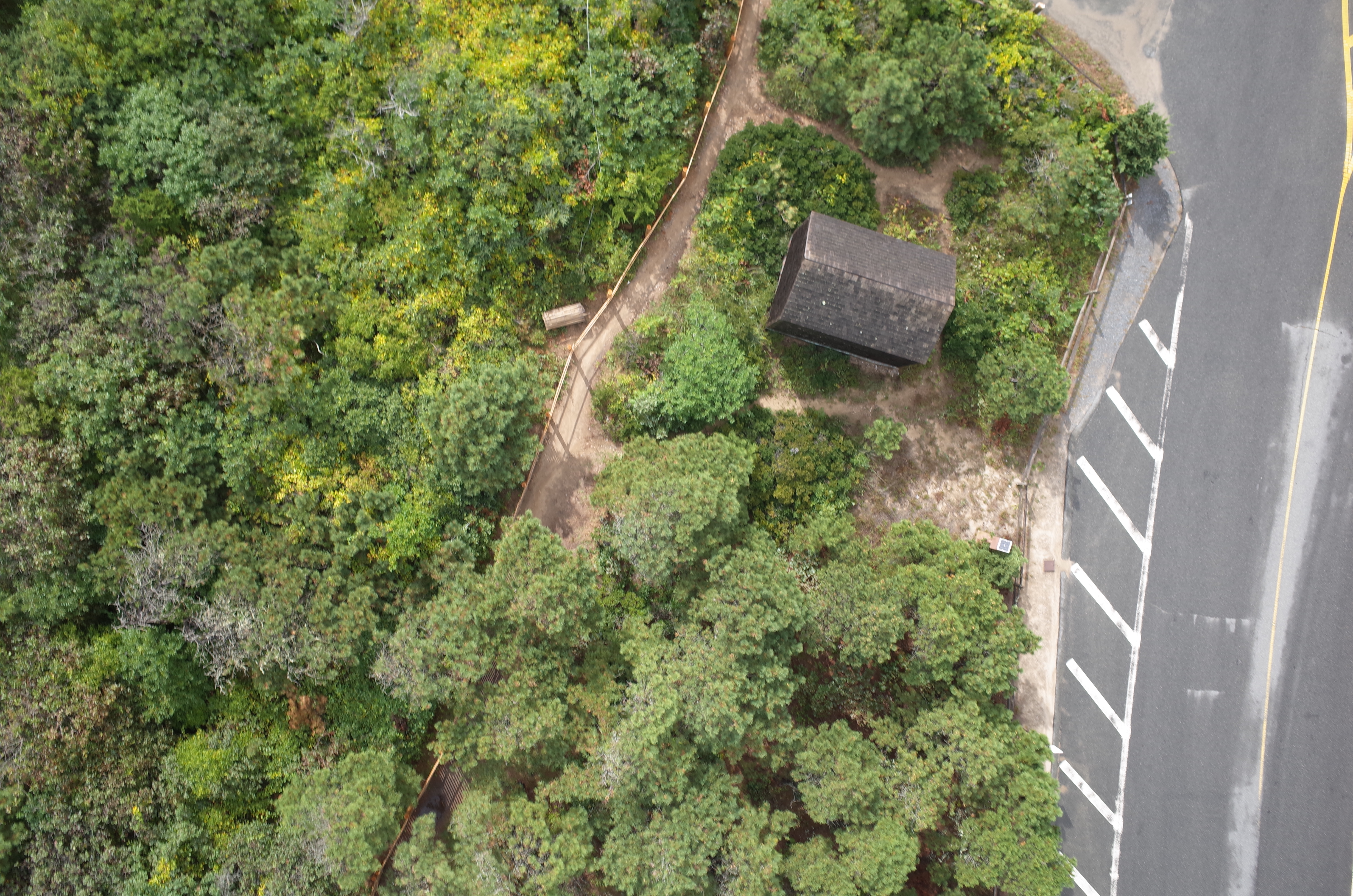
- Image Description: https://cmgds.marine.usgs.gov/fan_info.php?fan=2023-022-FA ; Low-altitude aerial photograph from the Ricoh GRII, Nauset Light Beach, Cape Cod National Seashore, Massachusetts, pre-hurricane Lee
- Attribution URL: https://doi.org/10.5066/P9GA5RJD
- GPS Latitude: 41.8594736599944
- GPS Latitude Reference: N
- GPS Longitude: -69.9522931100003
- GPS Longitude Reference: W
- GPS Time Stamp (UTC): 14:00:22
- GPS Date Stamp: 2023-09-14
- GPS Area Information: position estimated from SfM reconstruction
- GPS Map Datum: ESPG: 6317 (NAD83[2011])
- Date/Time Original: 2023-09-14 14:00:22
- Date/Time Modified: 2023-09-14 14:00:22
- Artist: WHCMSC AIMG
- Preserved Filename: M1063973.JPG
- External Metadata Link: https://www1.usgs/gov/pir/api/identifiers/USGS:6511a2edd34e823a0275dbda
- Camera Make: RICOH IMAGING COMPANY, LTD.
- Camera Model: GR II