Imagery Data System
Disclaimer: this website is preliminary and under development

Filename: FtHase_20230512182758_110-7211.jpg
Image data:
- Keywords:
- Imagerybasemapsearthcover
- Collection:
- FAN:
2023-310-FA:
More images from FAN |
CMGDS details
- Topic: Natural Hazards
- Purpose: Field activity
- Type: Seafloor
- Subject: seafloor images
- Semantic Location: Fort Hase, Oahu, Hawaii
- People:
No people visible in image
- FAN: St. Petersburg Coastal and Marine Science Center
- Public: True
- File Size: 2702895 bytes
- Uploaded By: bnwilliams
- Uploaded At: Nov. 29, 2023, 9:17 p.m. (UTC)
Exif tags:
- Credit: U.S. Geological Survey
- Contact: gs-g-spcmsc_data_inquiries@usgs.gov
- Copyright: Public Domain
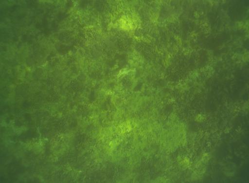
- Image Description: https://cmgds.marine.usgs.gov/fan_info.php?fan=2023-310-FA; Photograph of seabed collected at Coconut Island and Ft. Hase, Marine Corps Base Hawaii, collected in May 2023 during field activity 2023-310-FA
- Attribution URL: https://doi.org/10.5066/P9KACPGU
- GPS Latitude: 21.4240633300139
- GPS Latitude Reference: N
- GPS Longitude: -157.734354300004
- GPS Longitude Reference: W
- GPS Time Stamp (UTC): 23:03:16
- GPS Date Stamp: 2023-05-12
- GPS Area Information: position from pole-mounted AeroAntenna Technology Global Navigation Satellite System (GNSS) antenna
- Date/Time Original: 2023-05-12 23:03:16
- Artist: U.S. Geological Survey SPCMSC CSAF Group and Marine Operations
- Preserved Filename: FtHase_20230512182758_110-7211.jpg
- External Metadata Link: https://www1.usgs.gov/pir/api/identifiers/USGS:b96df884-69fc-4d99-b0b7-3800a2672f1f
- Camera Make: TELEDYNE FLIR
- Camera Model: BFS-PGE-122S6C-C
