The image displayed on this page is a thumbnail, please use the download function to obtain the full-resolution image.
Filename: 2021033FA_f04r01_20211007T154214Z_R0057786.JPG
This image is part of the data release:
Topographic and multispectral reflectance products, aerial imagery, ground spectra, vegetation, and associated GPS data collected during uncrewed aircraft system (UAS) operations, Dog Head Marsh at South Cape Beach, Mashpee, MA, October 7-8, 2021
Image data:
- Keywords:
- Collection:
2021_DogHead_ricoh
- Field activity number:
2021-033-FA:
More images from FAN |
CMGDS details
- Topic: Natural Hazards
- Purpose: Field activity
- Class: Uncrewed Aircraft System, Structure-from-Motion
- Subject: Marsh
- Semantic Location: Dog Head Marsh, Mashpee, MA
- Science Center: Woods Hole Coastal and Marine Science Center
- File Size: 5544628 bytes
Imagery header data:
- Credit: U.S. Geological Survey
- Contact: WHSC_data_contact@usgs.gov
- Copyright: Public Domain
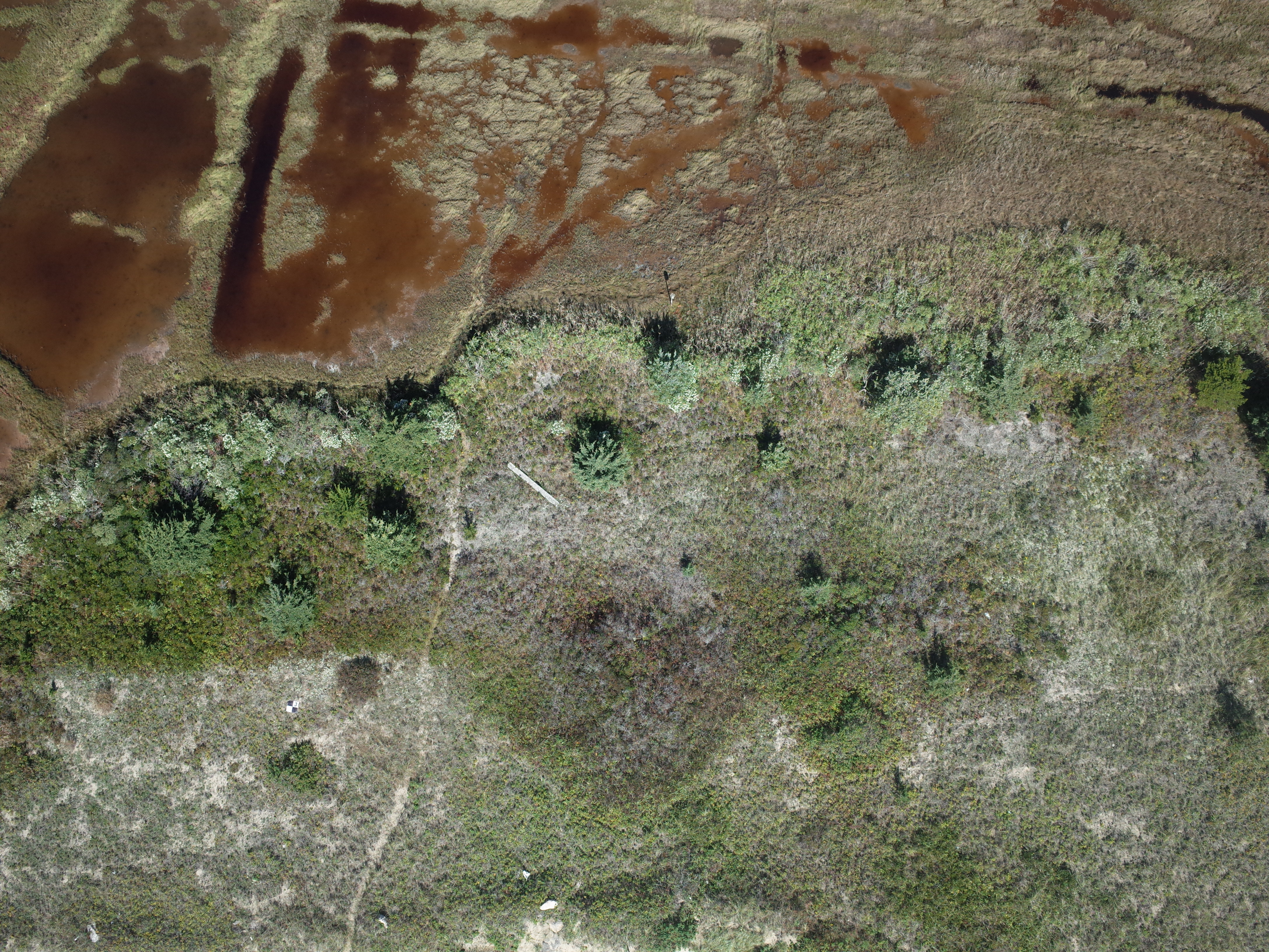
- Image Description: https://cmgds.marine.usgs.gov/fan_info.php?fan=2021-033-FA; Low altitude aerial photograph of Dog Head Marsh at South Cape Beach, Mashpee, Massachusetts, taken with a Ricoh GRII camera during USGS field activity 2021-033-FA
- Attribution URL: https://doi.org/10.5066/P9W8JS7P
- GPS Latitude: 41.5523749000042
- GPS Latitude Reference: N
- GPS Longitude: -70.5025637999936
- GPS Longitude Reference: W
- GPS Time Stamp (UTC): 15:42:14
- GPS Date Stamp: 2021-10-07
- GPS Area Information: position post-processed from UAV-GPS
- GPS Map Datum: EPSG:4326 (WGS 84)
- Date/Time Original: 2021-10-07 15:42:14
- Date/Time Modified: 2021-10-07 15:42:14
- Artist: WHCMSC AIM Group
- Preserved Filename: 2021033FA_f04r01_20211007T154214Z_R0057786.JPG
- External Metadata Link: https://www1.usgs.gov/pir/api/identifiers/USGS:64dbdf6ed34e5f6cd55240a6
- Camera Make: RICOH IMAGING COMPANY, LTD.
- Camera Model: GR II