The image displayed on this page is a thumbnail, please use the download function to obtain the full-resolution image.
Filename: F06_20171101T221812Z_RB002456.JPG
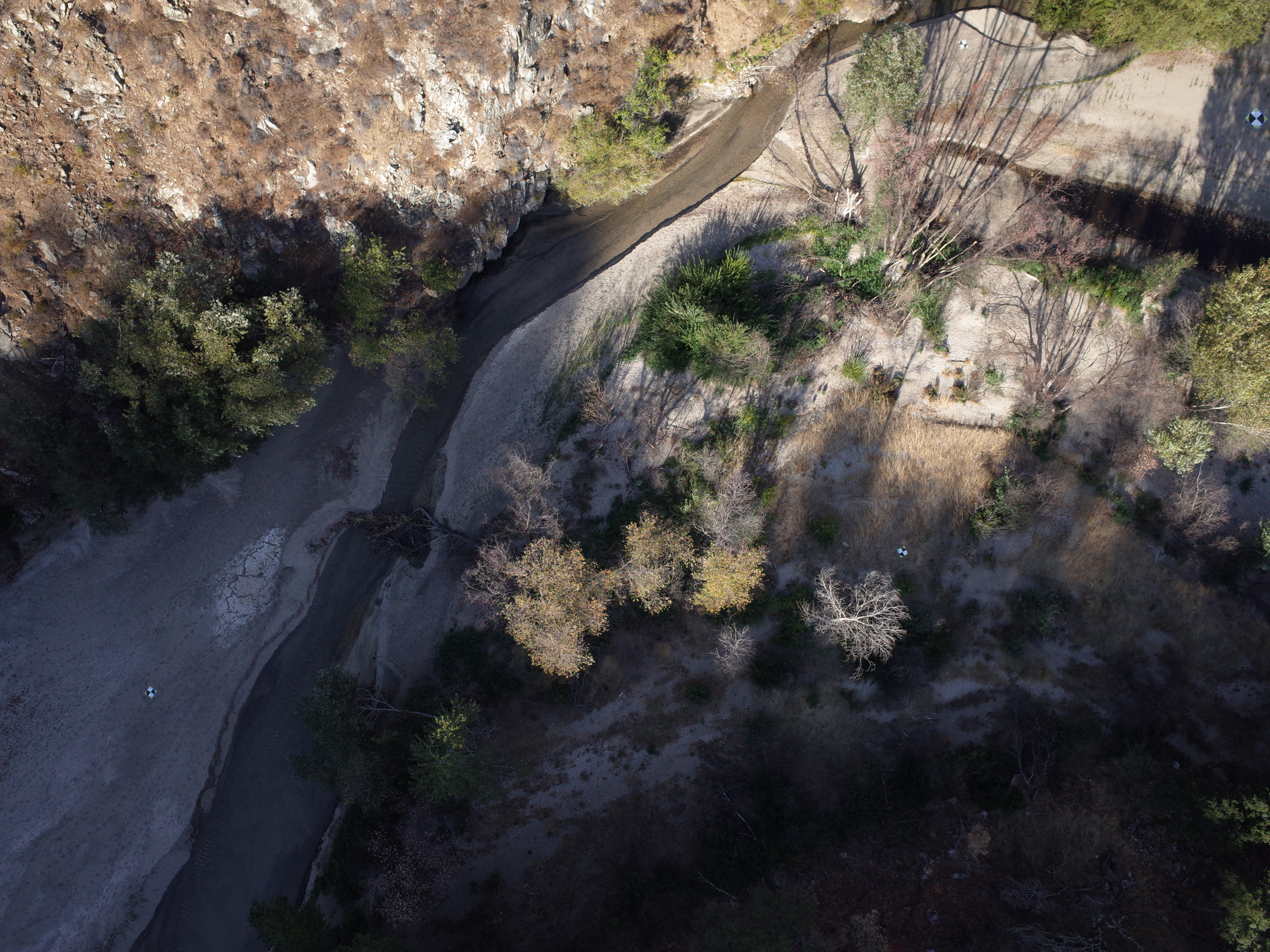
This image is part of the data release:
Aerial imagery and structure-from-motion data products from a UAS survey of the Los Padres Reservoir delta, Carmel River valley, CA, 2017-11-01
Image data:
- Keywords:
- Collection:
Los Padres Reservoir, Carmel River, CA, UAS survey
- Field activity number:
2017-635-FA:
More images from FAN |
CMGDS details
- Topic: Mapping, Remote Sensing, and Geospatial Data, Water
- Purpose: Field activity
- Class: Uncrewed Aircraft System, Structure-from-Motion
- Subject: Los Padres Reservoir delta and Carmel River
- Semantic Location: Los Padres Reservoir, Carmel River, Monterey County, CA
- Science Center: Pacific Coastal and Marine Science Center
- File Size: 5777383 bytes
Imagery header data:
- Credit: U.S. Geological Survey
- Contact: pcmsc_data@usgs.gov
- Copyright: Public Domain
- Image Description: Low-altitude aerial image of the Los Padres Reservoir delta area, Carmel River valley, California, USA, from USGS field activity 2017-635-FA; https://cmgds.marine.usgs.gov/fan_info.php?fan=2017-635-FA
- Attribution URL: https://doi.org/10.5066/P9J9CHOH
- GPS Latitude: 36.3762977000333
- GPS Latitude Reference: N
- GPS Longitude: -121.664565800019
- GPS Longitude Reference: W
- GPS Time Stamp (UTC): 22:18:13
- GPS Date Stamp: 2017-11-01
- GPS Area Information: Position from UAS onboard autonomous single-frequency GNSS.
- GPS Map Datum: EPSG:4979 (WGS 84)
- Date/Time Original: 2017-11-01 22:18:12
- Date/Time Modified: 2017-11-01 22:18:12
- Artist: U.S. Geological Survey, Pacific Coastal and Marine Science Center
- External Metadata Link: https://www1.usgs.gov/pir/api/identifiers/USGS:6378191cd34ed907bf701a6c
- Camera Make: RICOH IMAGING COMPANY, LTD.
- Camera Model: GR II