Imagery Data System
Disclaimer: this website is preliminary and under development
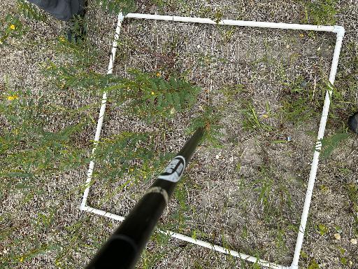
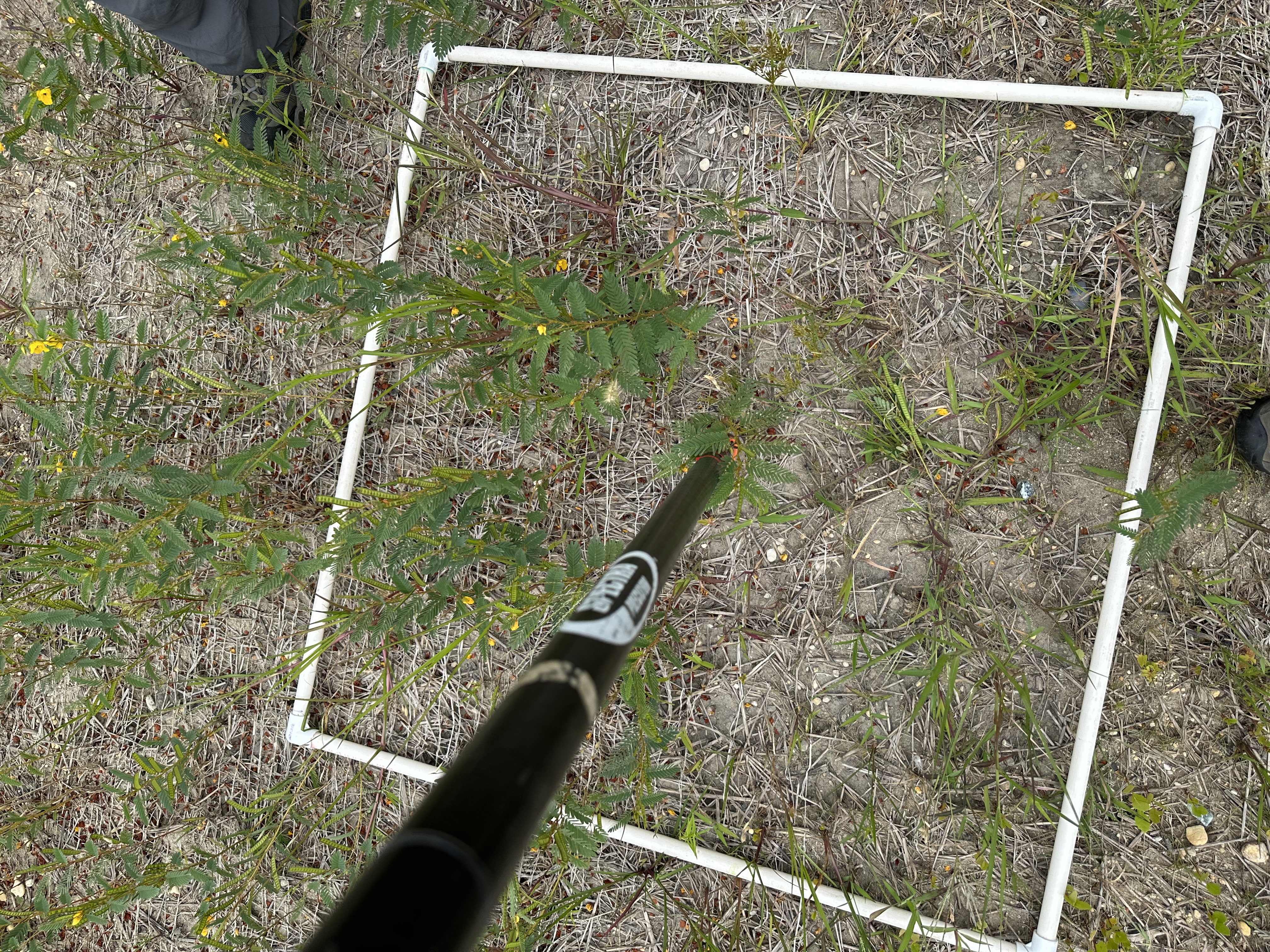
Filename: 2023020FA_ClearviewVegSurvey_RefID_17_topdown.jpeg
Image data:
- Keywords:
- Collection:
- FAN:
2023-020-FA:
More images from FAN |
CMGDS details
- Topic: Geology, Mapping, Remote Sensing, and Geospatial Data
- Purpose: Field activity
- Type: Uncrewed Aircraft System, Structure-from-Motion
- Subject: vegetation
- Semantic Location: Darby Township, PA
- People:
No people visible in image
- FAN: Woods Hole Coastal and Marine Science Center
- Public: True
- File Size: 6447004 bytes
- Uploaded By: sackerman
- Uploaded At: Nov. 13, 2024, 10:48 p.m. (UTC)
Exif tags:
- Credit: U.S. Geological Survey
- Contact: WHSC_data_contact@usgs.gov
- Copyright: Public Domain
- Image Description: https://cmgds.marine.usgs.gov/fan_info.php?fan=2023-020-FA; Vegetation sample photograph at the Clearview Landfill, Lower Darby Creek Superfund, Darby Township, Pennsylvania, taken with a commercial smartphone camera during USGS field activity 2023-020-FA
- Attribution URL: https://doi.org/10.5066/P1HRSCZH
- GPS Latitude: 39.9033138888889
- GPS Latitude Reference: N
- GPS Longitude: -75.2538222222222
- GPS Longitude Reference: W
- GPS Area Information: camera-integrated GPS
- Date/Time Original: 2023-08-28 14:33:31
- Date/Time Modified: 2023-08-28 14:33:31
- Artist: WHCMSC AIM Group
- Preserved Filename: 2023020FA_ClearviewVegSurvey_RefID_17_topdown.jpeg
- External Metadata Link: https://www1.usgs.gov/pir/api/identifiers/USGS:6675c615d34e6f159fd10ebd
- Camera Make: Apple
- Camera Model: iPhone 14 Pro Max