The image displayed on this page is a thumbnail, please use the download function to obtain the full-resolution image.
Filename: 2007003FA_20070907T171310Z_dl1_PICT0078.JPG
This image is part of the data release:
OFR 2010-1006: Geophysical and Sampling Data from the Inner Continental Shelf: Northern Cape Cod Bay, Massachusetts
Image data:
- Keywords:
- Sea-floor characteristics
- Imagerybasemapsearthcover
- Collection:
MassCZM_2007003FA_NorthernCCB
- Field activity number:
2007-003-FA:
More images from FAN |
CMGDS details
- Topic: Geology, Mapping, Remote Sensing, and Geospatial Data
- Purpose: Field activity
- Class: Seafloor
- Subject: sea floor
- Semantic Location: Coastal Massachusetts
- Science Center: Woods Hole Coastal and Marine Science Center
- File Size: 2725237 bytes
Imagery header data:
- Credit: U.S. Geological Survey
- Contact: WHSC_data_contact@usgs.gov
- Copyright: Public Domain
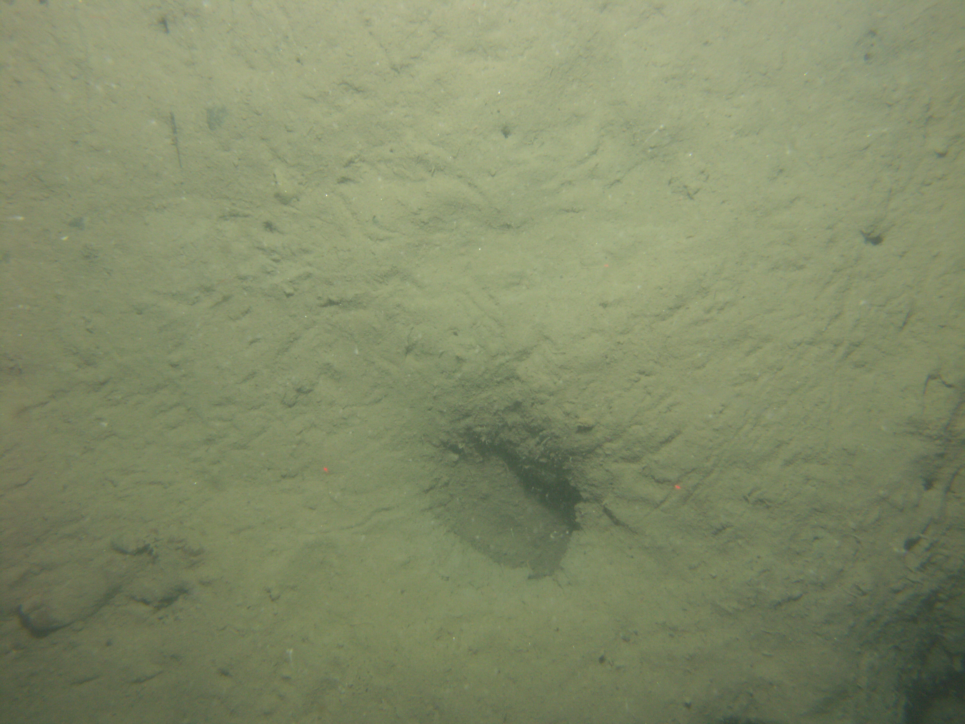
- Image Description: https://cmgds.marine.usgs.gov/fan_info.php?fan=2007-003-FA; Photograph of the sea floor in Northern Cape Cod Bay, Massachusetts, from survey 2007-003-FA
- Attribution URL: https://doi.org/10.3133/ofr20101006
- GPS Latitude: 41.984809
- GPS Latitude Reference: N
- GPS Longitude: -70.533095
- GPS Longitude Reference: W
- GPS Time Stamp (UTC): 17:13:10
- GPS Date Stamp: 2007-09-07
- GPS Area Information: position post-processed from nearby GPS
- GPS Map Datum: EPSG:4326 (WGS 84)
- Date/Time Original: 2007-09-07 18:12:20
- Date/Time Modified: 2007-09-07 18:12:20
- Artist: WHCMSC Sea Floor Mapping Group
- External Metadata Link: https://www1.usgs.gov/pir/api/identifiers/USGS:9a3abfab-7d1a-47b0-8e8e-20afb649524c
- Camera Make: Konica Minolta Camera, Inc.
- Camera Model: DiMAGE A2