Disclaimer: this website is preliminary and under development
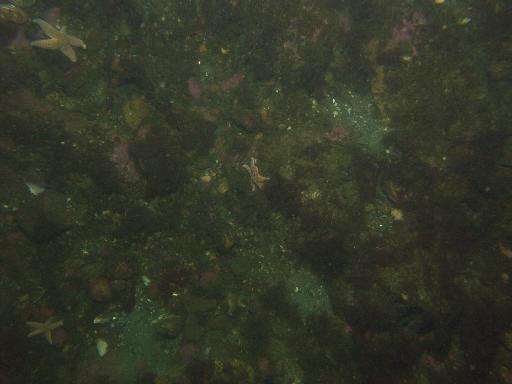
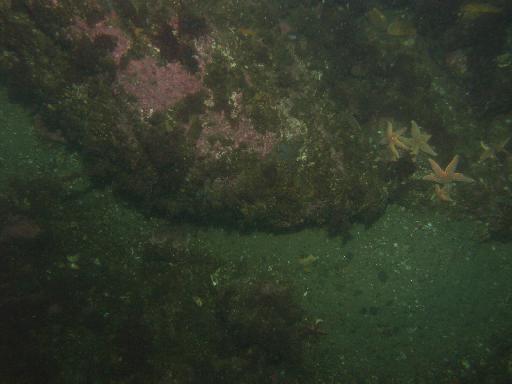
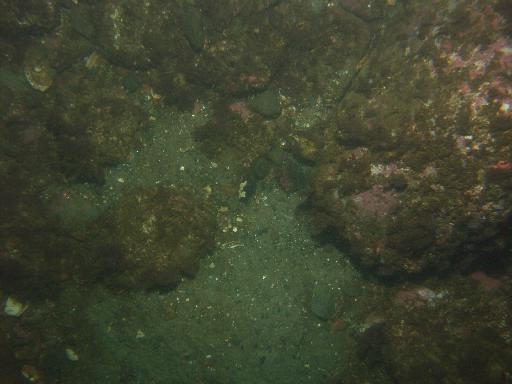
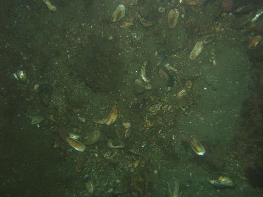
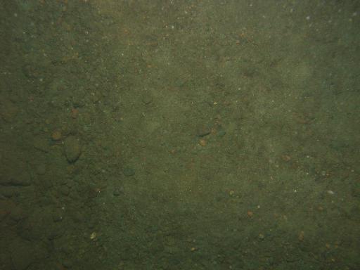
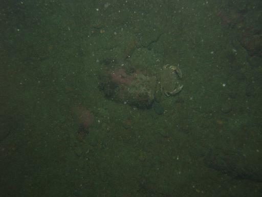
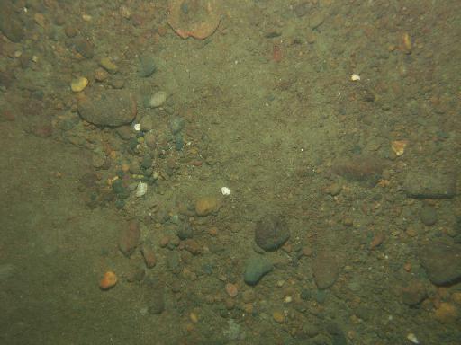
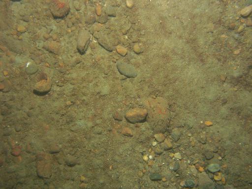
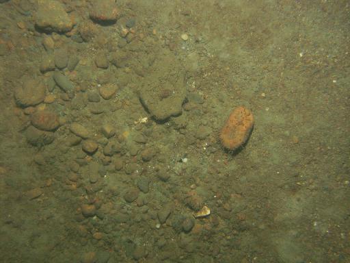
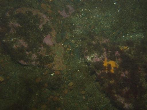
Images associated with FAN 2007-003-FA. Click thumbnail for detailed view.
There are 1329 public images total from 2007-003-FA.
Click a column header to sort by that column
| Image | Collection | Semantic Location | GPS Date Stamp | GPS Time Stamp | GPS Latitude | GPS Longitude | Attribution URL (DOI) | Credit | |
|---|---|---|---|---|---|---|---|---|---|
 |
Coastal Massachusetts | 2007-09-08 | 18:33:26 | 42.088229 N | -70.601258 W | https://doi.org/10.3133/ofr20091072 | U.S. Geological Survey | ||
 |
Coastal Massachusetts | 2007-09-08 | 18:34:50 | 42.088721 N | -70.601136 W | https://doi.org/10.3133/ofr20091072 | U.S. Geological Survey | ||
 |
Coastal Massachusetts | 2007-09-08 | 18:35:14 | 42.088853 N | -70.601085 W | https://doi.org/10.3133/ofr20091072 | U.S. Geological Survey | ||
 |
Coastal Massachusetts | 2007-09-08 | 18:33:46 | 42.088347 N | -70.601226 W | https://doi.org/10.3133/ofr20091072 | U.S. Geological Survey | ||
 |
Coastal Massachusetts | 2007-09-08 | 18:33:10 | 42.088155 N | -70.601262 W | https://doi.org/10.3133/ofr20091072 | U.S. Geological Survey | ||
 |
Coastal Massachusetts | 2007-09-08 | 18:34:13 | 42.088495 N | -70.601193 W | https://doi.org/10.3133/ofr20091072 | U.S. Geological Survey | ||
 |
Coastal Massachusetts | 2007-09-08 | 18:36:16 | 42.089204 N | -70.600962 W | https://doi.org/10.3133/ofr20091072 | U.S. Geological Survey | ||
 |
Coastal Massachusetts | 2007-09-08 | 18:35:50 | 42.08905 N | -70.601017 W | https://doi.org/10.3133/ofr20091072 | U.S. Geological Survey | ||
 |
Coastal Massachusetts | 2007-09-08 | 18:37:23 | 42.089624 N | -70.600826 W | https://doi.org/10.3133/ofr20091072 | U.S. Geological Survey | ||
 |
Coastal Massachusetts | 2007-09-08 | 18:53:24 | 42.105369 N | -70.613699 W | https://doi.org/10.3133/ofr20091072 | U.S. Geological Survey | ||
 |
Coastal Massachusetts | 2007-09-08 | 18:53:08 | 42.105299 N | -70.613733 W | https://doi.org/10.3133/ofr20091072 | U.S. Geological Survey | ||
 |
Coastal Massachusetts | 2007-09-08 | 18:36:51 | 42.089438 N | -70.600897 W | https://doi.org/10.3133/ofr20091072 | U.S. Geological Survey | ||
 |
Coastal Massachusetts | 2007-09-08 | 18:54:19 | 42.105666 N | -70.613595 W | https://doi.org/10.3133/ofr20091072 | U.S. Geological Survey | ||
 |
Coastal Massachusetts | 2007-09-08 | 18:53:50 | 42.105509 N | -70.613645 W | https://doi.org/10.3133/ofr20091072 | U.S. Geological Survey | ||
 |
Coastal Massachusetts | 2007-09-08 | 18:54:41 | 42.105789 N | -70.613558 W | https://doi.org/10.3133/ofr20091072 | U.S. Geological Survey | ||
 |
Coastal Massachusetts | 2007-09-08 | 18:56:50 | 42.106498 N | -70.613368 W | https://doi.org/10.3133/ofr20091072 | U.S. Geological Survey | ||
 |
Coastal Massachusetts | 2007-09-08 | 18:55:17 | 42.105978 N | -70.613496 W | https://doi.org/10.3133/ofr20091072 | U.S. Geological Survey | ||
 |
Coastal Massachusetts | 2007-09-08 | 18:56:27 | 42.10637 N | -70.613394 W | https://doi.org/10.3133/ofr20091072 | U.S. Geological Survey | ||
 |
Coastal Massachusetts | 2007-09-08 | 18:57:56 | 42.106865 N | -70.613284 W | https://doi.org/10.3133/ofr20091072 | U.S. Geological Survey | ||
 |
Coastal Massachusetts | 2007-09-08 | 18:57:26 | 42.106701 N | -70.613318 W | https://doi.org/10.3133/ofr20091072 | U.S. Geological Survey | ||
 |
Coastal Massachusetts | 2007-09-08 | 19:13:54 | 42.111795 N | -70.624835 W | https://doi.org/10.3133/ofr20091072 | U.S. Geological Survey | ||
 |
Coastal Massachusetts | 2007-09-08 | 19:14:19 | 42.111927 N | -70.6247809999306 W | https://doi.org/10.3133/ofr20091072 | U.S. Geological Survey | ||
 |
Coastal Massachusetts | 2007-09-08 | 19:14:56 | 42.112127 N | -70.624687 W | https://doi.org/10.3133/ofr20091072 | U.S. Geological Survey | ||
 |
Coastal Massachusetts | 2007-09-08 | 19:14:40 | 42.112041 N | -70.624729 W | https://doi.org/10.3133/ofr20091072 | U.S. Geological Survey | ||
 |
Coastal Massachusetts | 2007-09-08 | 19:15:15 | 42.112232 N | -70.624636 W | https://doi.org/10.3133/ofr20091072 | U.S. Geological Survey | ||
 |
Coastal Massachusetts | 2007-09-08 | 19:15:36 | 42.112342 N | -70.624594 W | https://doi.org/10.3133/ofr20091072 | U.S. Geological Survey | ||
 |
Coastal Massachusetts | 2007-09-08 | 19:17:46 | 42.113098 N | -70.624425 W | https://doi.org/10.3133/ofr20091072 | U.S. Geological Survey | ||
 |
Coastal Massachusetts | 2007-09-08 | 19:15:55 | 42.112442 N | -70.624558 W | https://doi.org/10.3133/ofr20091072 | U.S. Geological Survey | ||
 |
Coastal Massachusetts | 2007-09-08 | 19:16:46 | 42.112714 N | -70.62448 W | https://doi.org/10.3133/ofr20091072 | U.S. Geological Survey | ||
 |
Coastal Massachusetts | 2007-09-08 | 19:16:12 | 42.112531 N | -70.62453 W | https://doi.org/10.3133/ofr20091072 | U.S. Geological Survey |