The image displayed on this page is a thumbnail, please use the download function to obtain the full-resolution image.
Filename: 2019034FA_GoProHERO4_20190917T145239Z_G0031814.JPG
This image is part of the data release:
High-resolution geophysical and geological data collected in Cape Cod Bay, Massachusetts during USGS Field Activities 2019-002-FA and 2019-034-FA
Image data:
- Keywords:
- Sea-floor characteristics
- Collection:
2019_CapeCodBaySEABOSS
- Field activity number:
2019-034-FA:
More images from FAN |
CMGDS details
- Topic: Geology
- Purpose: Field activity
- Class: Seafloor
- Subject: seafloor substrate and fauna
- Semantic Location: Cape Cod Bay
- Science Center: Woods Hole Coastal and Marine Science Center
- File Size: 2157207 bytes
Imagery header data:
- Credit: U.S. Geological Survey
- Contact: WHSC_data_contact@usgs.gov
- Copyright: Public Domain
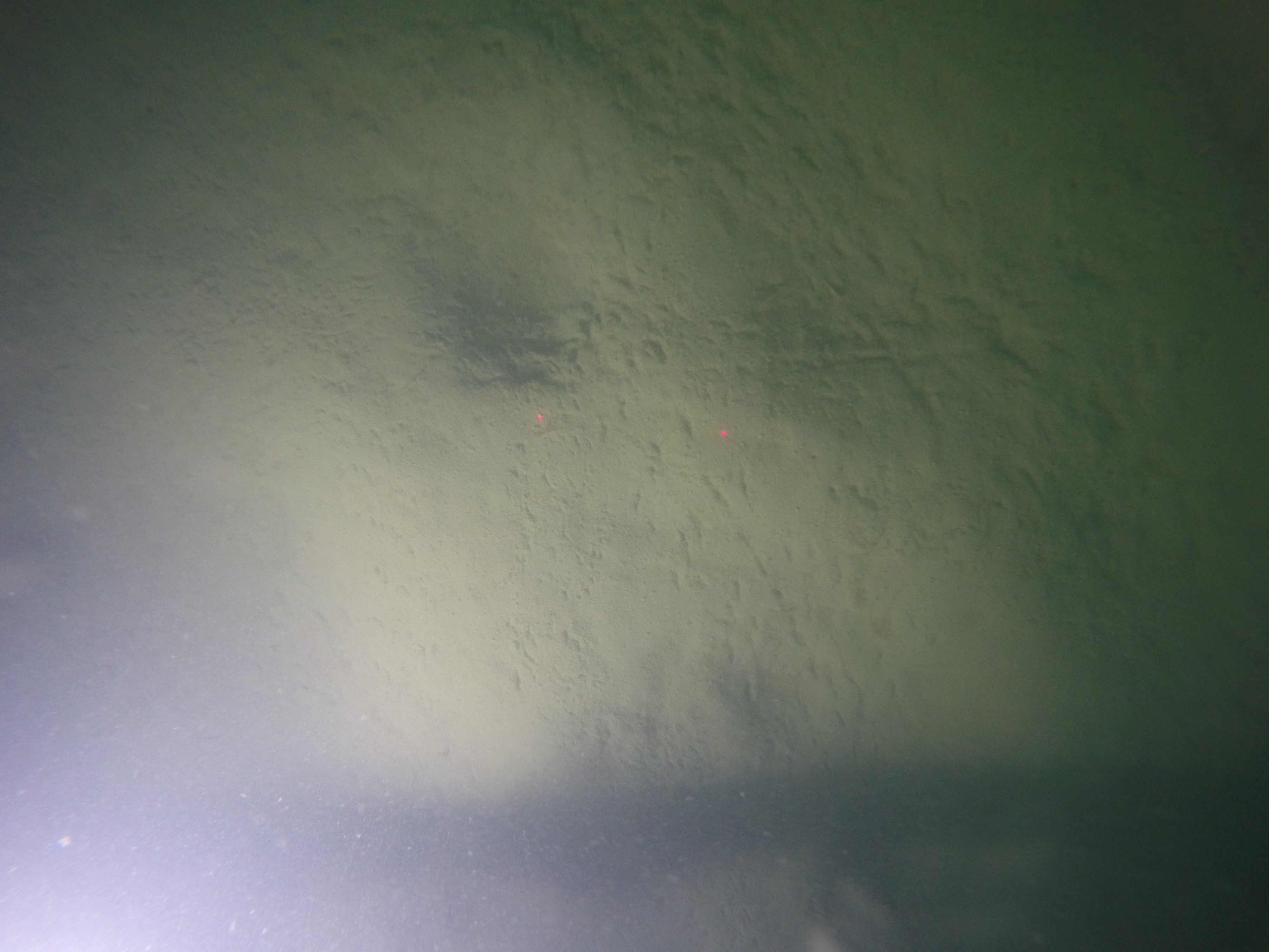
- Image Description: https://cmgds.marine.usgs.gov/fan_info.php?fan=2019-034-FA; Photograph of the sea floor in Cape Cod Bay, Massachusetts, from USGS field activity 2019-034-FA
- Attribution URL: https://doi.org/10.5066/P99DR4PN
- GPS Latitude: 42.00116
- GPS Latitude Reference: N
- GPS Longitude: -70.155334
- GPS Longitude Reference: W
- GPS Time Stamp (UTC): 14:52:39
- GPS Date Stamp: 2019-09-17
- GPS Area Information: position post-processed from nearby GPS
- GPS Map Datum: EPSG:4326 (WGS 84)
- Date/Time Original: 2019-09-17 14:52:39
- Date/Time Modified: 2019-09-17 14:52:39
- Artist: Woods Hole Coastal and Marine Science Center (WHCMSC) Sea Floor Mapping Group (SFMG)
- Preserved Filename: G0031814.JPG
- External Metadata Link: https://www1.usgs.gov/pir/api/identifiers/USGS:9ef9f5fe-6614-48b5-96fc-7a17b9b77546
- Camera Make: GoPro
- Camera Model: HERO4 Black