USGS Coastal and Marine Hazards and Resources Program
![]() Title | Introduction
| Methods | Reconnaissance Bathy |
Interpolated Bathy | Catalog
| Acknowlegments | References
| Figures
| Contacts
Title | Introduction
| Methods | Reconnaissance Bathy |
Interpolated Bathy | Catalog
| Acknowlegments | References
| Figures
| Contacts
 |
||
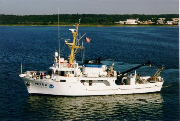
Figure 3. Image shows a port-side view of the NOAA Ship RUDE which performed surveys H11043, H11044, and H11045 in Long Island Sound. | ||
