USGS Coastal and Marine Hazards and Resources Program
Title Page /
Table of Contents /
Introduction /
Geographic Information System /
References /
Acknowledgements
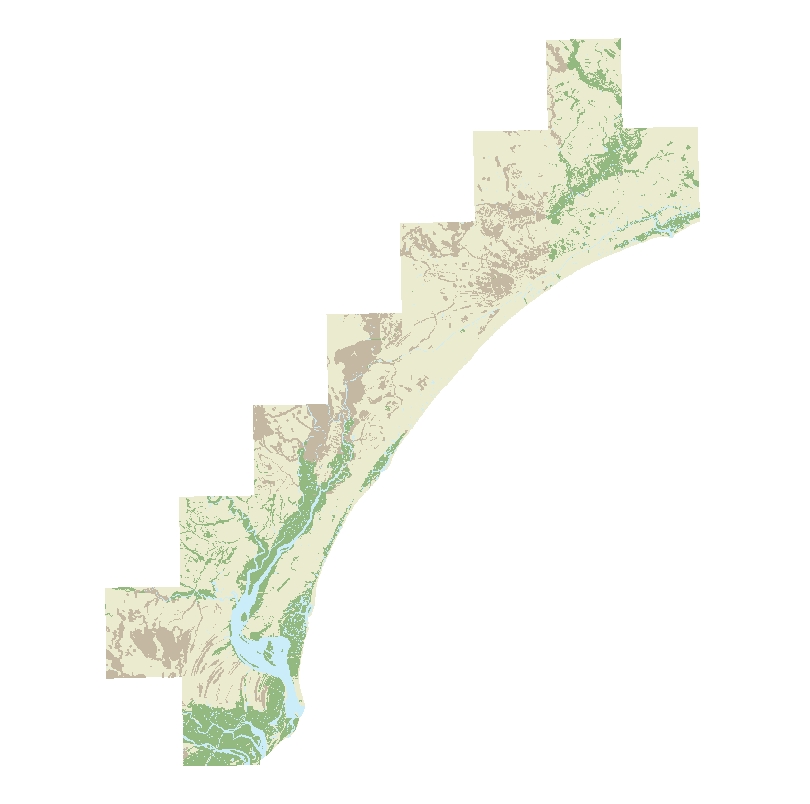
Gshydd: Image of the onshore hydrography as stored within ArcGIS Map Document. | ||
 |
||
