USGS Coastal and Marine Hazards and Resources Program
Title Page /
Table of Contents /
List of Figures /
Introduction /
Maps /
Data Collection/Processing /
Interpretation /
Acknowledgments /
Appendix 1 /
Appendix 2 /
Appendix 3 /
 |
|
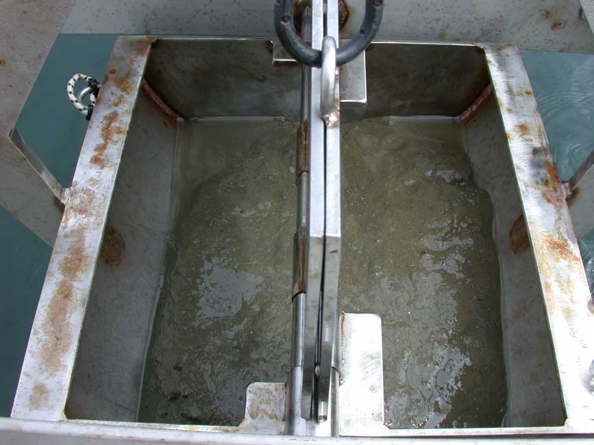
BH033
|
|
Sample ID:
|
BH033 |
|
Depth (in meters):
|
24.8 |
|
Latitude (Decimal Degrees, North):
|
42.3618967 |
|
Longitude (Decimal Degrees, West):
|
-70.8621983 |
|
% Gravel:
|
1.37 |
|
% Sand:
|
75.83 |
|
% Silt:
|
19.12 |
|
% Clay:
|
3.68 |
|
Shepard Classification:
|
SAND |
