USGS Coastal and Marine Hazards and Resources Program
Title Page /
Table of Contents /
List of Figures /
Introduction /
Maps / Data Collection/Processing / Interpretation / Acknowledgments / Appendix 1 / Appendix 2 /
Appendix 3 /
 |
||
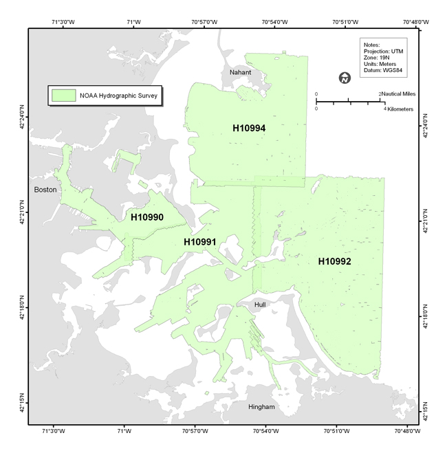
Figure 1.2. Map showing the location of the NOAA hydrographic surveys H10990, H10991, H10992, and H0994 that collected the bathymetry and sidescan-sonar data used to map the sea floor of Boston Harbor and Approaches. |