USGS Coastal and Marine Hazards and Resources Program
Title Page /
Table of Contents /
List of Figures /
Introduction /
Maps / Data Collection/Processing / Interpretation / Acknowledgments / Appendix 1 / Appendix 2 /
Appendix 3 /
 |
||
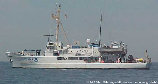
Figure 3.1. Photograph of the NOAA Ship Whiting. The Whiting, 163’ long and equipped with two launches to carry out hydrographic surveys, was decommissioned by NOAA in 2003. |