USGS Coastal and Marine Hazards and Resources Program
Title Page /
Table of Contents /
List of Figures /
Introduction /
Maps / Data Collection/Processing / Interpretation / Acknowledgments / Appendix 1 / Appendix 2 /
Appendix 3 /
 |
||
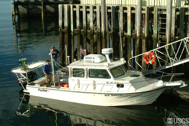
Figure 3.2. Photograph of the USGS research vessel Rafael. The Rafael is 25’ long and used by USGS to conduct geophysical surveys in coastal areas. |