USGS Coastal and Marine Hazards and Resources Program
Title Page /
Table of Contents /
List of Figures /
Introduction /
Maps / Data Collection/Processing / Interpretation / Acknowledgments / Appendix 1 / Appendix 2 /
Appendix 3 /
 |
||
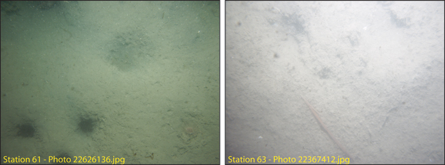
Figure 4.12. Photographs of the sea floor in areas of low backscatter intensity south of Long Island and southeast of Peddocks Island (stations 63 and 61). See Figure A3.1 for station locations and Figure 4.3 for sediment texture. See Appendix 3 for additional photographs at these stations. The field of view of each image is approximately 50 cm wide. | ||