USGS Coastal and Marine Hazards and Resources Program
Title Page /
Table of Contents /
List of Figures /
Introduction /
Maps / Data Collection/Processing / Interpretation / Acknowledgments / Appendix 1 / Appendix 2 /
Appendix 3 /
 |
||
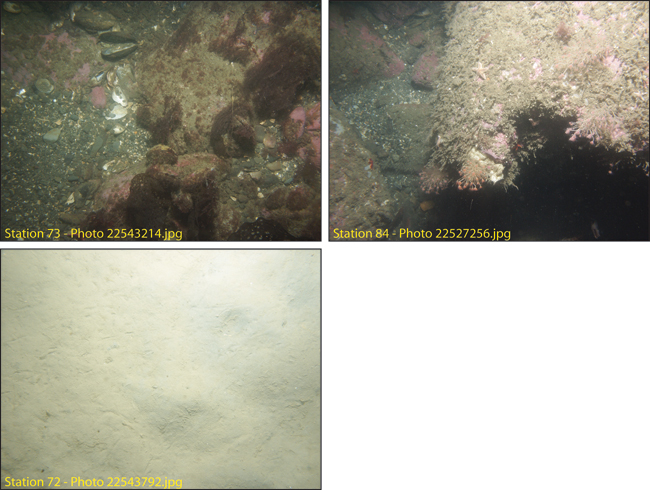
Figure 4.15. Photographs of the sea floor in areas of elevated topography, rough sea floor, and high backscatter intensity (stations 73 and 84, fig. 4.14) in Broad Sound. The boulders are covered with a pink calcerous algae. The sea floor between these features is sand (station 72). See Figure 4.14b for station locations. See Appendix 3 for additional photographs at these stations. The field of view of each image is approximately 50 cm wide. | ||