| Identifier | 2022-018-FA | ||||||||
|---|---|---|---|---|---|---|---|---|---|
| Alternate names | Pea Island Naitonal Wildlife Refuge Topobathy Survey - Post DUNEX | ||||||||
| Purpose | Collect topographic and bathymetric data of the Pea Island National Wildlife Refuge DUNEX site as a follow-up to the data collected in 2020-024-DD, 2021-028-FA, and 2021-029-FA. | ||||||||
| Location | Dare County, North Carolina, Cape Hatteras National Seashore - Pea Island National Wildlife Refuge | ||||||||
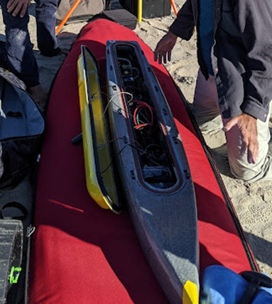
| Summary | Walking survey with PPK GPS and single-beam echo-sounder bathymetry collected using Yellowfin completed on April 10, 2022. | ||||||||
| Info derived | elevation/bathymetry | ||||||||
| Comments | Only P. Traykovski will be in the field. Chris Sherwood is on the permitting and data processing. Account is: GX22.LQ00.GJEAF | ||||||||
| Projects | |||||||||
| Related activities |
2021-028-FA: Project
2021-029-FA: Project
2020-024-DD: Project
|
||||||||
| Platform |
|
||||||||
| Itinerary |
|
||||||||
| Bounds |
|
| Organization |
Woods Hole Oceanographic Institution(WHOI)
Woods Hole, MA02543
|
||
|---|---|---|---|
| Organization |
384 Woods Hole Road
Quissett Campus
Woods Hole, MA02543-1598
(508) 548-8700
|
||
| Principal investigators | Christopher R Sherwood | ||
| Crew members | |||
| Information specialist(s) |
|
||
| Affiliate principal | Peter Traykovski: Woods Hole Oceanographic Institute |
| Data category: | Location-Elevation, Sonar |
|---|---|
| Data type: | Navigation, Single Beam |
| Equipment | Usage description | Data types | Datasets |
|---|---|---|---|
| PPK GPS | PPK GPS attached to Yellowfin for bathymetry trackline data. PPK GPS also used to collect walking survey points for topography on beach and dune. | Navigation | (no data reported) |
| Cerulean Sonar S-500 Sounder | Single-beam echo sounder data collected using Yellowfin as platform | Single Beam | (no data reported) |