| Identifier | M174NP | ||||||||
|---|---|---|---|---|---|---|---|---|---|
| Alternate names | M-1-74-NP,CCTWO1MV | ||||||||
| Description | Chief Scientists: J. Mudie, Bill Normark. Geophysical data (transitsatellite, gyro, 3dot5khz, 12khz, magnetics, sidescansonar, 4khz, 20khz) of field activity M-1-74-NP in East Pacific Rise, Northern Pacific from 08/26/1974 to 09/20/1974 | ||||||||
| Location | Northern Pacific | ||||||||
| Comments | Staff information imported from InfoBank J. Mudie - Chief Scientist Bill Normark (USGS Western Region) - Chief Scientist | ||||||||
| Projects | |||||||||
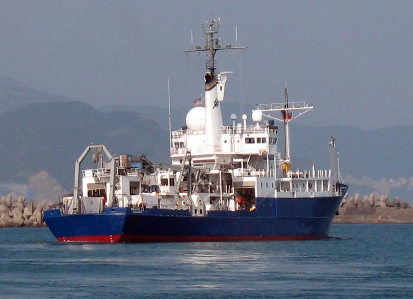
| Platform |
|
||||||||
| Itinerary |
|
||||||||
| Bounds |
|
||||||||
| Activity | Geophysical |
| Principal investigators | Normark, Bill |
|---|---|
| Crew members | |
| Affiliate principal | J. Mudie |
| Data category: | Electro-Magnetic, Imagery, Location-Elevation, Seismics, Sonar |
|---|---|
| Data type: | Magnetics, Photo, Navigation, Sub Bottom Profiler, Sidescan, Single Beam |
| Equipment | Usage description | Data types | Datasets |
|---|---|---|---|
| transitsatellite | Navigation | 3 | |
| 3.5khz | Sub Bottom Profiler | (no data reported) | |
| 12khz | Single Beam | 2 | |
| magnetics | Magnetics | 2 | |
| sidescansonar | Sidescan | (no data reported) | |
| 4khz | Sub Bottom Profiler | (no data reported) | |
| 20khz | Single Beam | (no data reported) | |
| underwatercamera | Video, Photo | 1 | |
| gyro | Navigation | (no data reported) |
| Dataset name | Equipment | Description | Dataset contact |
|---|---|---|---|
| Best file with nav in ArcInfo E00 format | transitsatellite | Bill Normark | |
| Integrated navigation (SINS) data m-1-74-np.050 | transitsatellite | Provisional best file | Bill Normark |
| Integrated navigation (SINS) data m-1-74-np.050_degree | transitsatellite | Bill Normark | |
| Edited bathymetry data with corrected depths m-1-74-np.320 | 12khz | Bill Normark | |
| Edited bathymetry data with corrected depths m-1-74-np.320_050 | 12khz | Provisional best file | Bill Normark |
| Edited magnetics data m-1-74-np.220 | magnetics | Bill Normark | |
| Edited magnetics data m-1-74-np.220_050 | magnetics | Provisional best file | Bill Normark |
| Photos | underwatercamera | Bill Normark |