Field Activity 2016-045-FA

Identifier 2016-045-FA
Purpose 
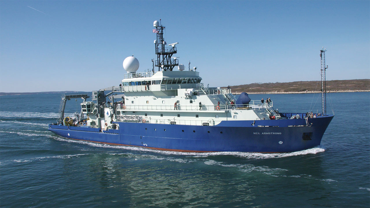
Science verification cruise for the R/V Armstrong, surveying new seeps etc.
Location Atlantic margin, Charleston to Baltimore Canyon
Summary Multibeam Echosounder: Acquired ~2672 line kms of multibeam bathymetry and backscatter using Kongsberg EM122 and EM712. Total sea floor coverage ~ 3236 km2. Single Beam Scientific Echosounder: Acquired ~ 2672 line kms of water column sonar using a Simrad EK80 (38-kHz)
Info derived bathymetry, methane plume characteristics in the water column
Comments This was science verification for the R/V Armstrong based on a small proposal that Ruppel wrote with Lizarralde. Danforth and Baldwin were shipboard and collected EK80, EM710, and EM122 data. Additional data sets from R/V Neil Armstrong Science Verification Leg 2 AR1-06 are available from the rolling deck repository at: http://www.rvdata.us/catalog/AR1-06
Projects
Platform
Neil Armstrong
LOA: 238 ft; Beam: 50 ft.
Itinerary
Start Charleston, SC 2016-03-17
End Norfolk, VA 2016-03-27
Days in the field 10
Bounds
West -79.936097
East -74.015571
North 37.682044
South 32.654336

Personnel

Organization
384 Woods Hole Road
Quissett Campus
Woods Hole, MA02543-1598
(508) 548-8700
Principal investigators Carolyn Ruppel
Crew members
William W Danforth
Scientist, Staff
Wayne E Baldwin
Scientist, Staff
Information specialist(s)
Wayne E Baldwin
Specialist, Information

Data types and categories

Data category: Location-Elevation, Sonar
Data type: Navigation, Multibeam, Single Beam

Equipment used

Equipment Usage description Data types Datasets
Simrad EK80 Water column reflectivity, Multibeam (no data reported)
Other Unknown, Multibeam, Single Beam, Sidescan, Interferometric, Sound Velocity (no data reported)
DGPS Navigation (no data reported)
EM122 12 kHz multibeam Multibeam (no data reported)

Publications

Samples collected during this field activity