Coastal and Marine Hazards and Resources
Geoscience Data System
Field Activity 2019-001-FA
XML
JSON
Identifier
2019-001-FA
Alternate names
2019-619-FA
Purpose
ROV and geophysical studies of methane seepage on the Cascadia margin
Location
U.S. Cascadia (Pacific Northwest) margin, offshore Washington and Oregon
Info derived
seafloor maps, subseafloor maps, methane flux, methane oxidation rate
Comments
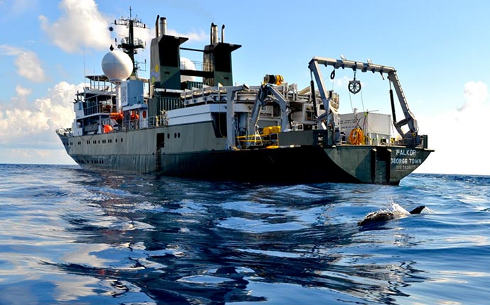
This was a competitively chosen project for which Schmidt Ocean Institute is providing about $1 million in shiptime on the global class R/V Falkor. We are responsible for travel, shipping, other science, overtime, etc.
Projects
USGS GAS HYDRATES
(LQ000FP)
Platform
LOA 82.9 meters; beam 13 meters; draft 5.8 meters.
Itinerary
Start
San Francisco, CA
2019-06-12
End
Astoria, OR
2019-07-02
Days in the field
18-20
Bounds
West
-127.24854111
East
-124.58936142
North
48.21672332
South
41.85895216
Show or hide map
Hide layers
Personnel
Organization
USGS, Woods Hole Coastal and Marine Science Center
(WHCMSC)
384 Woods Hole Road
Quissett Campus
Woods Hole,
MA
02543-1598
(508) 548-8700
Principal investigators
Carolyn Ruppel
Crew members
(not identified)
Scientist, Staff
Information specialist(s)
Carolyn Ruppel
Specialist, Information
Affiliate principal
Nancy Prouty (PCMSC); Amanda Demopoulos (WERC, Gainesville); John Kessler (U Rochester)
Data types and categories
Data category:
Location-Elevation, Sonar
Data type:
Navigation, Multibeam, Single Beam
Equipment used
Equipment
Usage description
Data types
Datasets
Other
Unknown
, Profiles
, Transects
, Benchmarks
, LIDAR
, Navigation
(no data reported)
Other
Unknown
, Multibeam
, Single Beam
, Sidescan
, Interferometric
, Sound Velocity
(no data reported)
Publications
Samples collected during this field activity