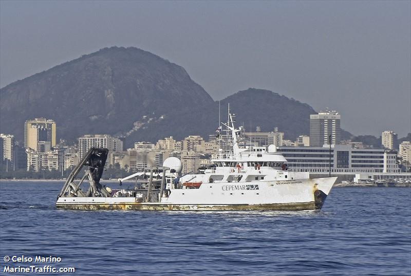
| Status | Inactive |
|---|---|
| Photo |  |
| Description | Length: 204 feet; Beam: 40 feet. |
| URL | http://www.fau.edu/hboi/OceanTechnology/rvsj_specs2008.pdf |
| Platform type | Vessel > Class 3 > Class 3 boats are longer than 40 feet. |
| USGS Center | USGS, Woods Hole Coastal and Marine Science Center (WHCMSC) |
| Owner |
Harbor Branch Foundation
Fort Pierce, FL
|
| Field activity | Center | Survey location and description |
|---|---|---|
| 07DCM01 | SPCMSC | Miami Terrace, FLorida Straits |
| 09DCM01 | SPCMSC | Southeastern U.S. Contintental Shelf, Atlantic Ocean |
| 09DCM03 | SPCMSC | Gulf of Mexico |
| 1985-021-FA | WHCMSC | northern Jordan Basin, Gulf of Maine, United States, Canada, North America, North Atlantic; |
| 1989-023-FA | WHCMSC | Eastern Georges Bank, United States, Canada, North America, North Atlantic; |
| 2002-041-FA | WHCMSC | north central Gulf of Mexico, United States, North America, North Atlantic; |
| 2008-008-FA | WHCMSC | Mona Canyon, Puerto Rico Trench, Puerto Rico, the Virgin Islands, Virgin Islands Basin, Whiting Basin, United States, northeast Caribbean, North Atlantic; |