| Description |
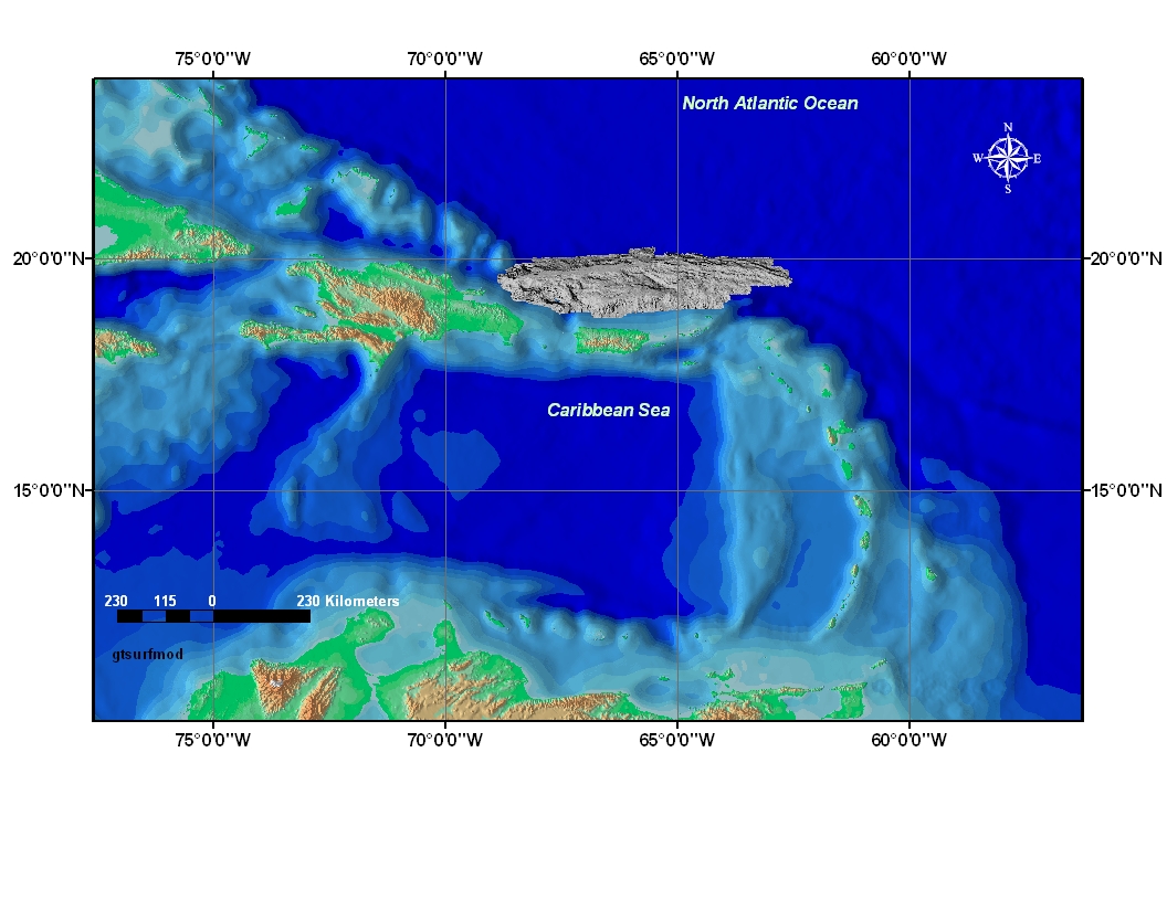
The Puerto Rico Trench is a tectonic plate boundary where the North American Plate slides by and descends under the Caribbean Plate. Although much of the trench lies within the United States of America's Exclusive Economic Zone (EEZ), surprisingly few surveys have been conducted there during the past 25 years. This data set is a grey toned surface model mosaic derived from the 150 meter grid made from the multibeam bathymetric data collected during the U.S. Geological Survey (USGS) science cruise 03008 in collaboration with National Oceanic and Atmospheric Administration (NOAA) Research Cruise RB0303 from 18 February to 7 March 2003, Leg II of III. (Leg I and III: 20020924 to 20020930 and 20030828 to 20030904, respectively). [More]
|
