| Online link | https://cmgds.marine.usgs.gov/catalog/whcmsc/open_file_report/ofr2004-1003/lisbathy.shp.faq.html |
|---|---|
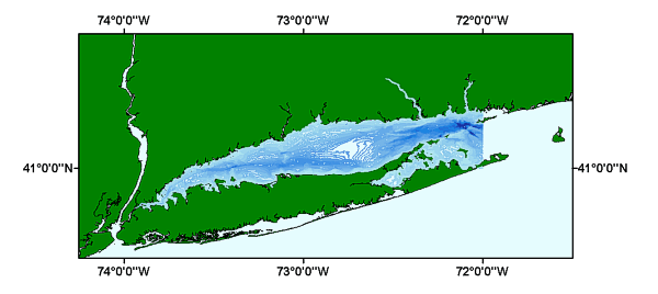
| Description | The Long Island Sound Study (LISS) compiled data from a number of different sources, integrated new data, and assembled a comprehensive spatial database for areas of the States of Connecticut, New York, and portions of Rhode Island which border Long Island Sound. |
| Originators | DiGiacomo-Cohen, Mary L.; Tedesco, Mark; Poppe, Lawrence J.; Paskevich, Valerie F.; Moser, M. S.; and Christman, E. B. |
