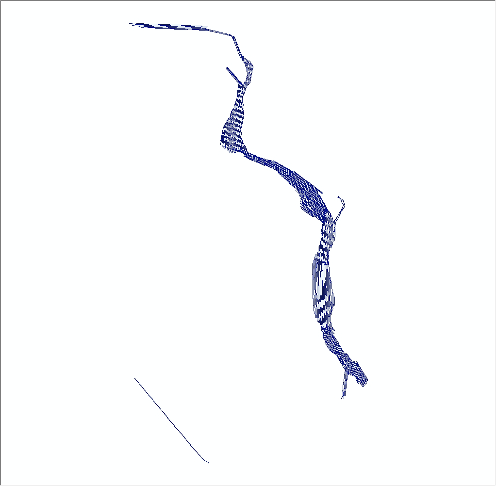
| Description |
A geophysical and geological survey was conducted at the mouth of the Connecticut River from Old Saybrook to Essex, Connecticut, in September 2012. Approximately 230 linear kilometers of digital Chirp subbottom (seismic-reflection) and 234-kilohertz interferometric sonar (bathymetric and backscatter) data were collected along with sediment samples, riverbed photographs, and (or) video at 88 sites within the geophysical survey area. Sediment grab samples were collected at 72 of the 88 sampling sites, video was acquired at 68 sites, and photographs of the river bottom were taken at 38 sites. These survey data are used to characterize the riverbed by identifying sediment-texture and riverbed morphology. More information can be found on the web page for the Woods Hole Coastal and Marine Science Center field activity: https://cmgds.marine.usgs.gov/fan_info.php?fan=2012-024-FA. Data collected during the 2012 survey can be obtained here: https://doi.org/10.5066/F7PG1Q7V. [More]
|
