| Description |
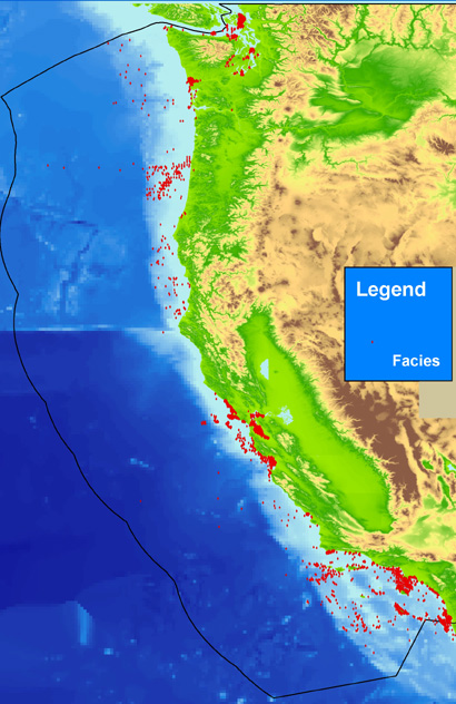
The facies data layer (PAC_FAC.txt) is one of five point coverages of known sediment samples, inspections, and probes from the usSEABED data collection for the U.S. Pacific margin, integrated using the software system dbSEABED. The facies data layer (PAC_FAC.txt) represents concatenated information about components (minerals and rock type), genesis (igneous, metamorphic, carbonate, terrigenous), and other appropriate groupings of information about the sea floor. These data are parsed from written descriptions from cores, grabs, photographs, and videos, and may apply only to a subsample as denoted by the Top, Bottom, and SamplePhase fields. The value "0" in a defined facies field does not necessarily imply lack of the components defining that field, but may imply a lack of data for that field. Table 6 (https://pubs.usgs.gov/ds/2006/182/table6.html) in the Larger_Work_Citation gives for a list of the facies, the contributing components, and relative weights. [More]
|
