| Online link | https://cmgds.marine.usgs.gov/catalog/whcmsc/open_file_report/ofr2002-002/cercnam_metadata.faq.html |
|---|---|
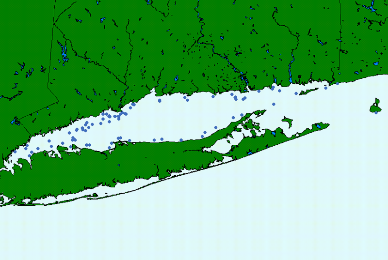
| Description | This GIS layer contains the station navigation for the U.S. Army Corps of Engineers Coastal Engineering Research Center (CERC) cores collected in Long Island Sound. These cores were originally collected in 1967 as part of the Inner Continental Shelf Sediment and Structure (ICONS) program to appraise sand resources. |
| Originators | DiGiacomo-Cohen, Mary L.; Poppe, Lawrence J.; and Paskevich, Valerie F. |
