| Online link | https://cmgds.marine.usgs.gov/catalog/whcmsc/DRB_data_release/DRB_P9R3VW5H/2016-018-FA_MCS_meta.faq.html |
|---|---|
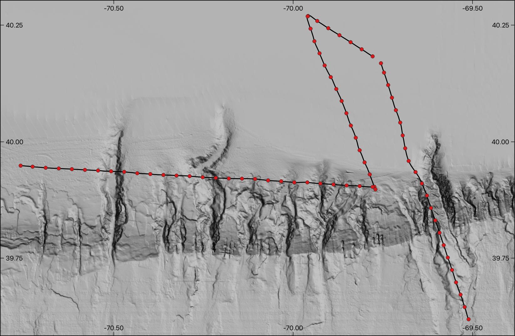
| Description | High resolution multichannel seismic-reflection data were collected along the New England outer continental shelf, slope, and rise south of Martha's Vineyard and Nantucket, Massachusetts, aboard the Woods Hole Oceanographic Institute (WHOI) research vessel Neil Armstrong on June 11 - 12, 2016 in order to characterize the stratigraphy of a portion of the New England continental margin incised by submarine canyons and showing evidence of mass transport processes. The activity was conducted as a part of the Science Verification Leg 5 (AR5) for the new vessel. [More] |
| Originators | Baldwin, Wayne E. and Miller, Nathaniel C. |
| Field activities | 2016-018-FA |
